Atlantic Heights Development, Portsmouth
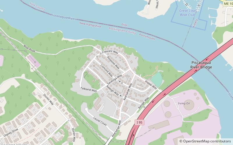
Map

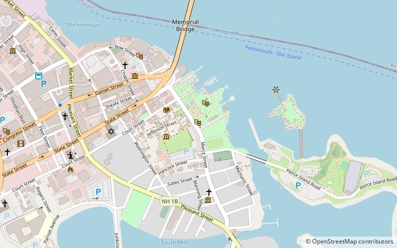
Map

Facts and practical information
The Atlantic Heights Development is a historic company-built worker subdivision in Portsmouth, New Hampshire. Bounded by I-95, the Piscataqua River, and the tracks of the Boston and Maine Railroad, this small neighborhood was built in 1918-20 to meet housing demand for workers at the Atlantic Company Shipyard, located just to the south, and served as a prototype for later residential subdivisions. It was listed on the National Register of Historic Places in 2006. ()
Built: 1918 (108 years ago)Coordinates: 43°5'32"N, 70°46'21"W
Address
Portsmouth
ContactAdd
Social media
Add
Day trips
Atlantic Heights Development – popular in the area (distance from the attraction)
Nearby attractions include: Portsmouth Athenæum, Piscataqua River Bridge, Prescott Park, The Music Hall.
Frequently Asked Questions (FAQ)
Which popular attractions are close to Atlantic Heights Development?
Nearby attractions include Piscataqua River Bridge, Portsmouth (9 min walk), Sarah Mildred Long Bridge, Portsmouth (20 min walk), Jackson House, Portsmouth (22 min walk).


