San Buenaventura State Beach, Ventura County
Map

Map

Facts and practical information
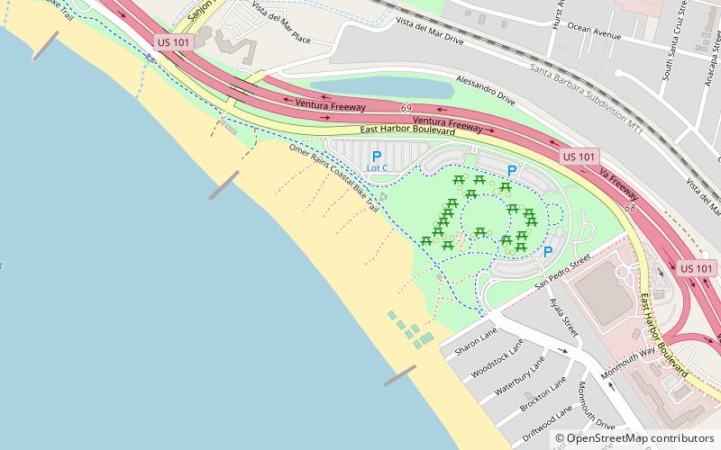
San Buenaventura State Beach is a beach located in Ventura, California. The primary entrance is located at 901 Pedro Street, off the 101 Freeway. ()
Elevation: 10 ft a.s.l.Coordinates: 34°16'11"N, 119°16'48"W
Address
901 San Pedro StPierpontVentura County 93001-3744
Contact
(805) 968-1033
Social media
Add
Day trips
San Buenaventura State Beach – popular in the area (distance from the attraction)
Nearby attractions include: Mission Basilica San Buenaventura, Serra Cross, Ventura Botanical Gardens, Ventura.
Frequently Asked Questions (FAQ)
Which popular attractions are close to San Buenaventura State Beach?
Nearby attractions include Ventura, Ventura County (15 min walk), First Baptist Church of Ventura, Ventura County (18 min walk), Ventura Pier, Ventura County (19 min walk), Baxter Art Gallery, Ventura County (22 min walk).
How to get to San Buenaventura State Beach by public transport?
The nearest stations to San Buenaventura State Beach:
Train
Train
- Ventura (32 min walk)


