Ventura Botanical Gardens, Ventura County
Map

Map

Facts and practical information
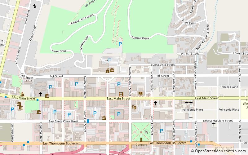
The Ventura Botanical Gardens re-opened November 3, 2018 after widespread damage caused by the Thomas Fire, is located at 567 S. Poli Street in Ventura, California, United States. ()
Elevation: 98 ft a.s.l.Coordinates: 34°16'55"N, 119°17'31"W
Day trips
Ventura Botanical Gardens – popular in the area (distance from the attraction)
Nearby attractions include: Mission Basilica San Buenaventura, Serra Cross, Seaside Park, San Buenaventura State Beach.
Frequently Asked Questions (FAQ)
Which popular attractions are close to Ventura Botanical Gardens?
Nearby attractions include Ventura Theatre, Ventura County (4 min walk), Emmanuel Franz House, Ventura County (5 min walk), Serra Cross, Ventura County (8 min walk), Mission Basilica San Buenaventura, Ventura County (9 min walk).
How to get to Ventura Botanical Gardens by public transport?
The nearest stations to Ventura Botanical Gardens:
Train
Train
- Ventura (15 min walk)


