Mount Hoffmann, Yosemite National Park
Map
Gallery
Facts and practical information
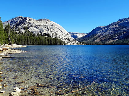
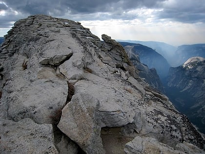
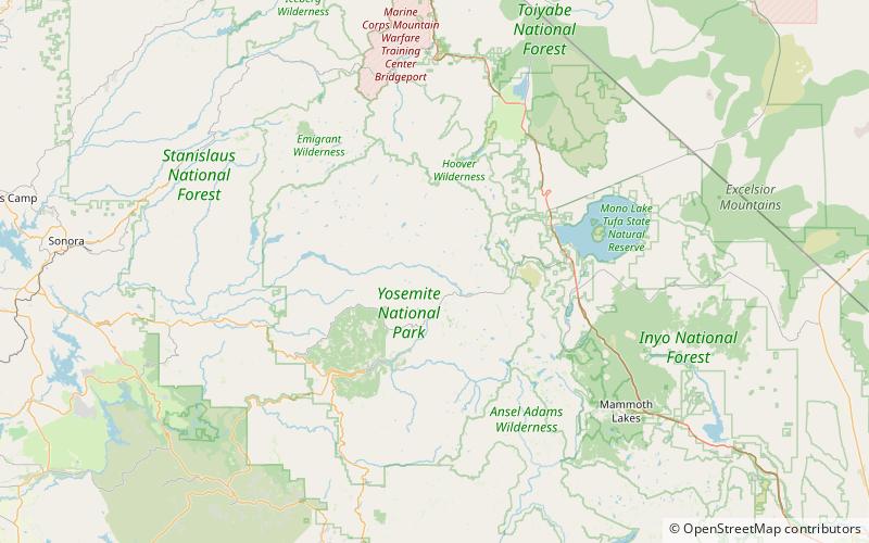
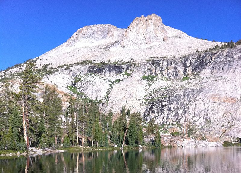
Mount Hoffmann is a prominent peak in northeastern Mariposa County in the center of Yosemite National Park, California, United States. It rises above May Lake and is a day hike of 6.2 miles from Tioga Pass Road. The mountain is named for the cartographer Charles F. Hoffmann, who was part of the California Geological Survey of the Sierra Nevada. ()
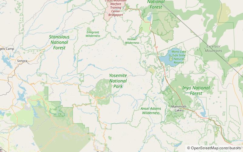
First ascent: 1869Elevation: 10855 ftProminence: 2290 ftCoordinates: 37°50'48"N, 119°30'36"W
Address
Yosemite National Park
ContactAdd
Social media
Add
Day trips
Mount Hoffmann – popular in the area (distance from the attraction)
Nearby attractions include: Tenaya Lake, Daff Dome, Clouds Rest, May Lake.

