Mount Solomons, Kings Canyon National Park
Map

Map

Facts and practical information
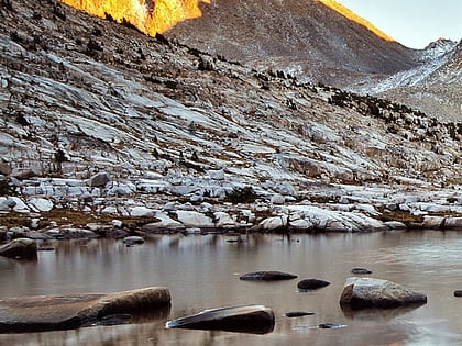
Mount Solomons is a peak in the Sierra Nevada mountain range in the U.S. state of California. It rises to 13,040 feet directly above Muir Pass. Mount Solomons was named after Theodore Solomons, an explorer of the Sierra Nevada mountains, who mapped and established what is now the northern half of John Muir Trail. ()
First ascent: 1929Elevation: 13040 ftProminence: 554 ftCoordinates: 37°6'23"N, 118°40'26"W
Address
Kings Canyon National Park
ContactAdd
Social media
Add
Day trips
Mount Solomons – popular in the area (distance from the attraction)
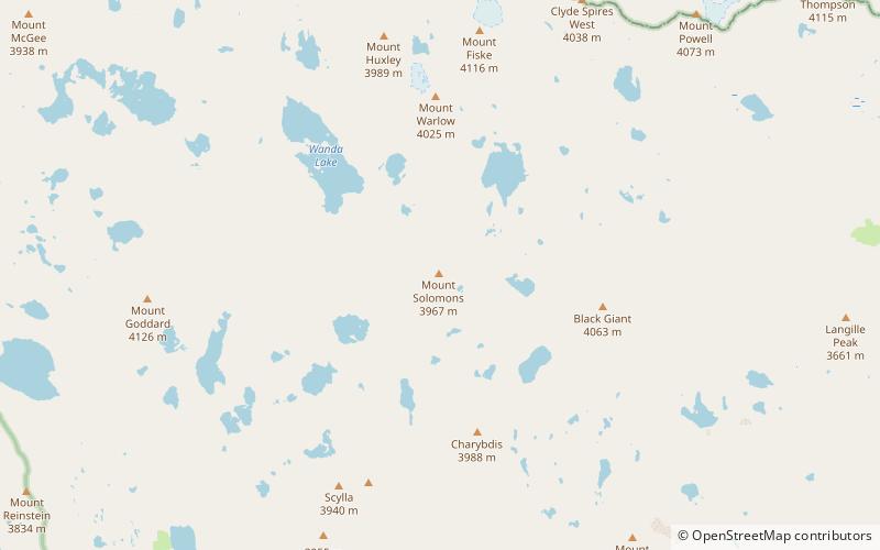
Nearby attractions include: The Hermit, Black Giant, Mount Fiske, Mount Warlow.


