Madulce Peak, Dick Smith Wilderness

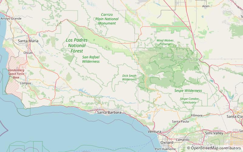
Map
Facts and practical information
Madulce Peak is a mountain located in the San Rafael Mountains, in the Transverse Ranges. It is the highest point of the Dick Smith Wilderness. The summit contains an old fire lookout that was constructed in the 1930s, but was burned down in the 1970s. ()
Elevation: 6539 ftProminence: 896 ftCoordinates: 34°41'28"N, 119°35'28"W
Address
Dick Smith Wilderness
ContactAdd
Social media
Add
Day trips
Madulce Peak – popular in the area (distance from the attraction)
Nearby attractions include: San Rafael Mountains, Big Pine Mountain.

