Trek Zone

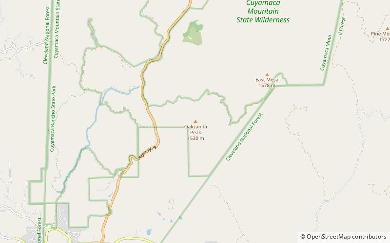
Oakzanita Peak, Cuyamaca Rancho State Park

#3 among attractions in Cuyamaca Rancho State Park

Nature, Natural attraction, Mountain
Oakzanita Peak location map
Map

Facts and practical information
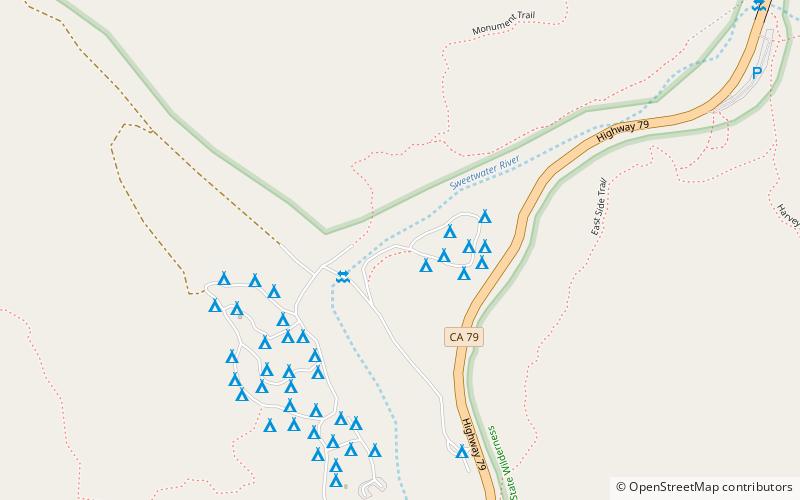
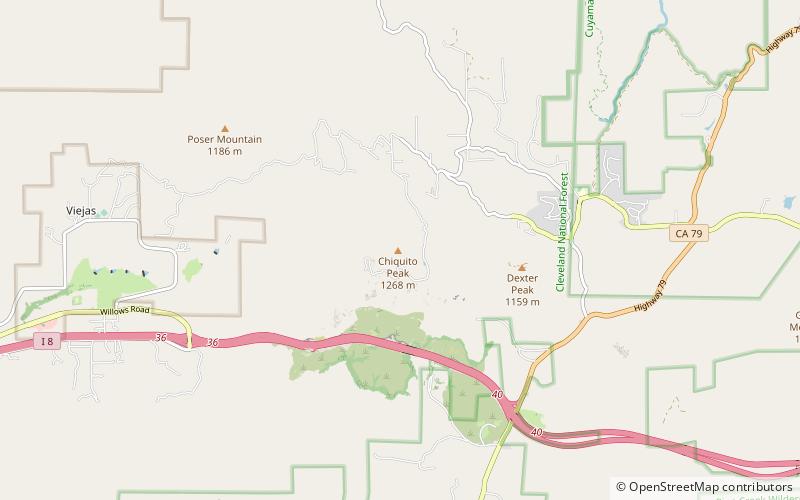
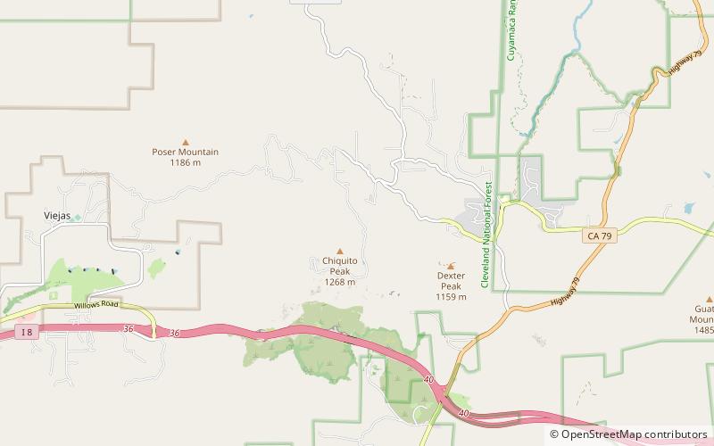
Elevation: 5056 ftProminence: 214 ftCoordinates: 32°53'27"N, 116°33'43"W
Address

Cuyamaca Rancho State Park United States

ContactAdd
Social media
Add
Day trips

Oakzanita Peak – popular in the area (distance from the attraction)

Nearby attractions include: Cuyamaca Peak, Stonewall Peak, Pine Valley Creek Bridge, Green Valley.

  • cuyamaca peak cuyamaca rancho state park4.6 miNW
  • stonewall peak cuyamaca rancho state park4.9 miN
  • pine valley creek bridge cleveland national forest4.7 miS
  • green valley cuyamaca rancho state park location map
    1.6 miNW
  • cuyamaca mountains cuyamaca rancho state park4.3 miNW
  • chiquito peak cleveland national forest location map
    5.5 miSW
  • viejas valley cleveland national forest location map
    5.2 miSW

Where to next? Visit california California region page or discover the top tourist attractions in United States.