Grizzly Peak, Oakland
Map
Map

Facts and practical information
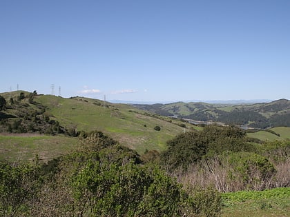
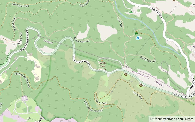
Grizzly Peak is a summit in the Berkeley Hills above Berkeley, California. The peak is located on the border between Alameda and Contra Costa counties, within the boundaries of Tilden Regional Park, and directly behind the University of California, Berkeley campus. ()
Elevation: 1758 ftProminence: 100 ftCoordinates: 37°52'56"N, 122°14'2"W
Address
Oakland
ContactAdd
Social media
Add
Day trips
Grizzly Peak – popular in the area (distance from the attraction)
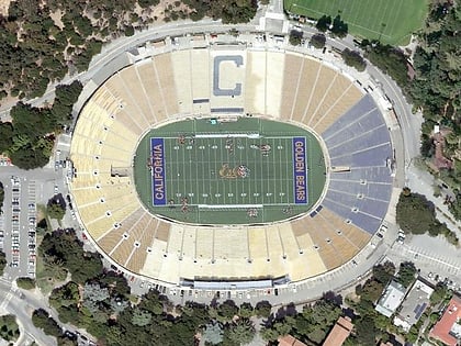
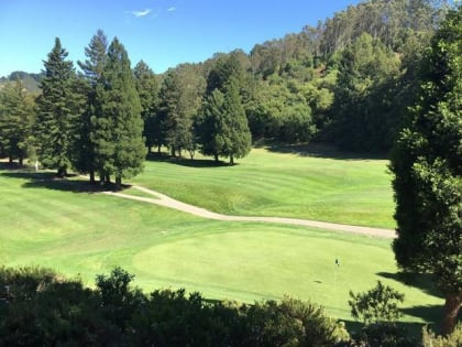
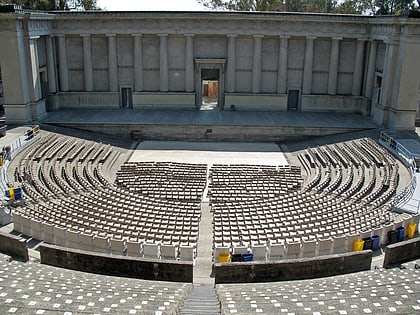
Nearby attractions include: Lawrence Hall of Science, California Memorial Stadium, Tilden Park Golf Course, Greek Theatre.
Frequently Asked Questions (FAQ)
Which popular attractions are close to Grizzly Peak?
Nearby attractions include Berkeley Hills, Oakland (8 min walk), Redwood Valley Railway, Orinda (16 min walk), University of California Botanical Garden at Berkeley, Oakland (16 min walk), Lawrence Hall of Science, Berkeley (19 min walk).
How to get to Grizzly Peak by public transport?
The nearest stations to Grizzly Peak:
Bus
Train
Bus
- U.C. Botanical Garden • Lines: H (14 min walk)
- Space Sciences Lab/MSRI • Lines: H (15 min walk)
Train
- Redwood Valley Railway (16 min walk)


