Regional Parks Botanic Garden, Berkeley

Gallery (3)
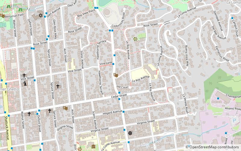
Map
Map
Gallery
Facts and practical information
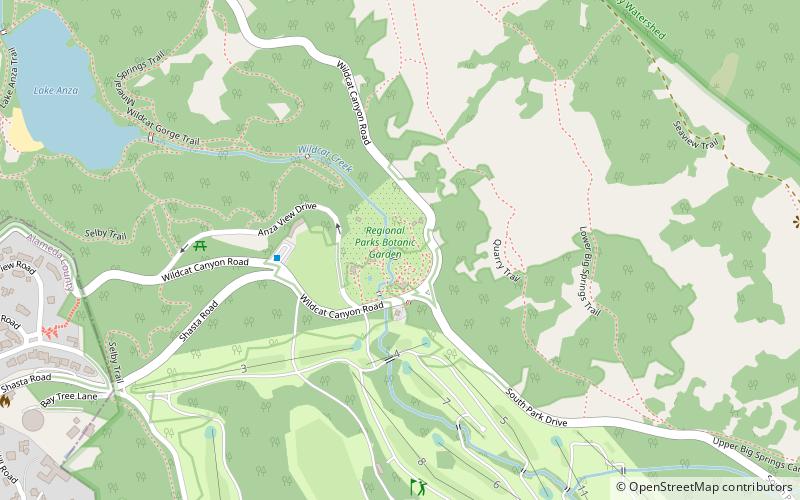
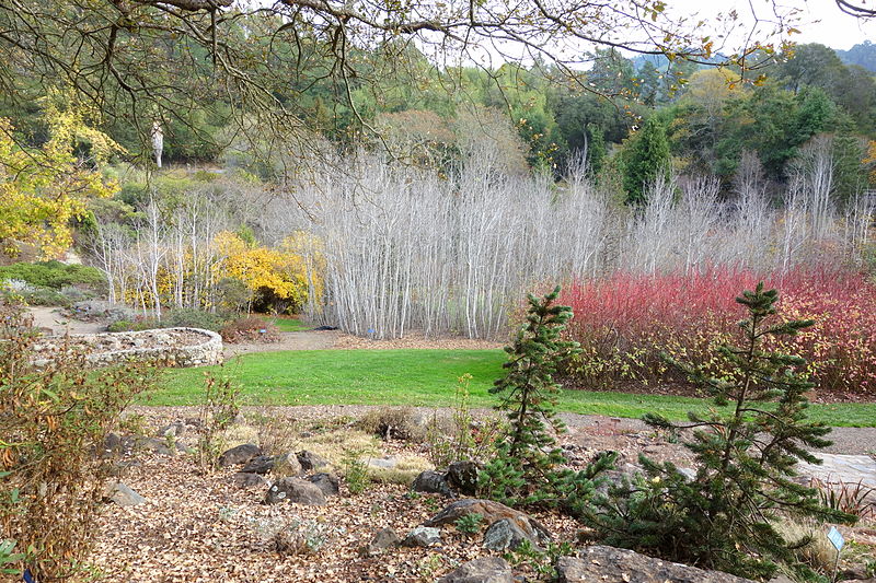
The Regional Parks Botanic Garden is a 10-acre botanical garden located in Tilden Regional Park in the Berkeley Hills, east of Berkeley, California, in the United States. It showcases California native plants, and is open to the public in daylight hours every day of the year except New Year's Day, Thanksgiving, and Christmas. The Garden was founded on January 1, 1940. ()
Elevation: 906 ft a.s.l.Coordinates: 37°53'37"N, 122°14'35"W
Getting there by public transportation
Public transportation stops near this location
- Bus
- Train
 Bus
Bus
- Calculate routeTilden Park Brazilian Room 4 min walk
- Calculate routeGrizzly Peak Boulevard & Shasta Road 15 min walk
- Calculate routeRedwood Valley Railway 36 min walk
Day trips


Frequently Asked Questions (FAQ)
Which popular attractions are close to Regional Parks Botanic Garden?
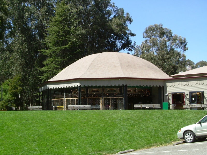
Nearby attractions include Tilden Regional Park, Berkeley (3 min walk), Lake Anza, Berkeley (12 min walk), Berkeley Hills, Oakland (20 min walk), Tilden Park Merry-Go-Round, Berkeley (22 min walk).
How to get to Regional Parks Botanic Garden by public transport?
The nearest stations to Regional Parks Botanic Garden:
Bus
Train
Bus
- Tilden Park Brazilian Room • Lines: 67 (4 min walk)
- Grizzly Peak Boulevard & Shasta Road • Lines: 65 (15 min walk)
Train
- Redwood Valley Railway (36 min walk)