Mount McAdie, Sequoia and Kings Canyon National Parks
Map

Map

Facts and practical information
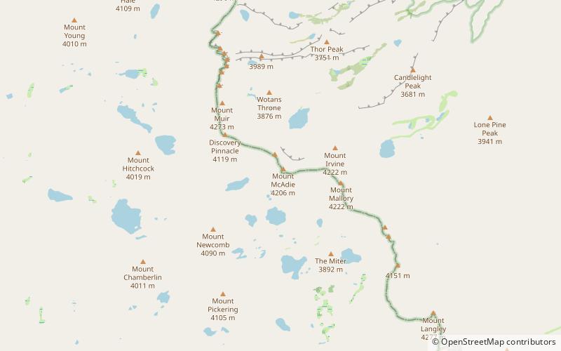
Mount McAdie is a summit on the crest of the Sierra Nevada, and is located 2.1 miles south of Mount Whitney. It has three summits, with the north peak being the highest. The summit ridge marks the boundary between Sequoia National Park and the John Muir Wilderness. It is also on the boundary between Inyo and Tulare counties. Lone Pine, 12.4 miles to the northeast, is in the Owens Valley on U.S. 395. ()
First ascent: 1922Elevation: 13805 ftProminence: 479 ftCoordinates: 36°33'2"N, 118°16'37"W
Address
Sequoia and Kings Canyon National Parks
ContactAdd
Social media
Add
Day trips
Mount McAdie – popular in the area (distance from the attraction)
Nearby attractions include: Mount Whitney Trail, Mount Muir, Mount Newcomb, Mount Mallory.
Frequently Asked Questions (FAQ)
Which popular attractions are close to Mount McAdie?
Nearby attractions include Mount Mallory, Sequoia and Kings Canyon National Parks (21 min walk), Mount Irvine, Mount Whitney (22 min walk).


