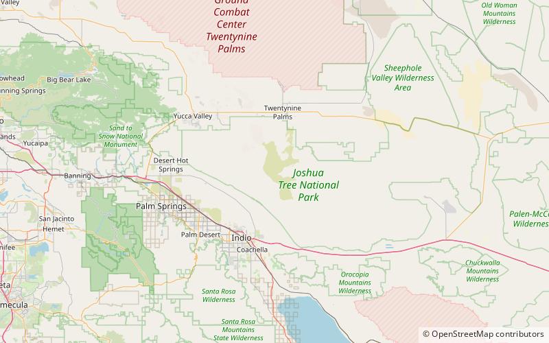
Malapai Hill, Joshua Tree National Park
Map

Map

Facts and practical information
Malapai Hill is a small mountain in the middle of Joshua Tree National Park in southeastern California, which may have been part of an ancient volcano. It formed during a period of intrusive activity and either rose above the surface or eventually was exposed by erosion. Its name is a derivative of the Spanish word, malpaís. ()
Elevation: 4278 ftProminence: 360 ftCoordinates: 33°56'23"N, 116°5'17"W
Day trips
Malapai Hill – popular in the area (distance from the attraction)
Nearby attractions include: Ryan Mountain, Ryan House and Lost Horse Well, Lost Horse Valley.


