Lost Horse Valley
Map

Map

Facts and practical information
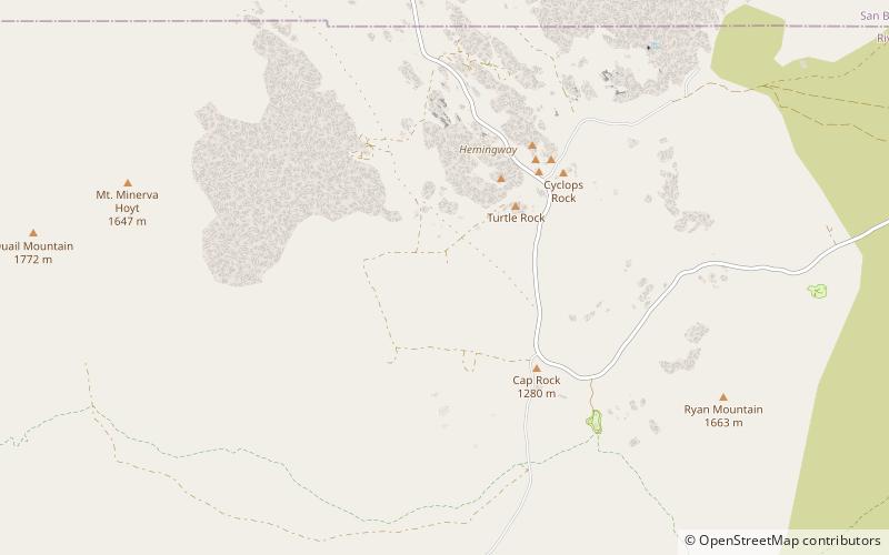
Lost Horse Valley is a valley in Joshua Tree National Park. It has been called "the centerpiece of the park" because of the quality of its stands of Joshua trees and its geological formations. It contains the Lost Horse Mine, of significant historic importance in the park. ()
Coordinates: 34°0'5"N, 116°10'40"W
Location
California
ContactAdd
Social media
Add
Day trips
Lost Horse Valley – popular in the area (distance from the attraction)
Nearby attractions include: Keys Desert Queen Ranch, Ryan Mountain, Quail Mountain, Ryan House and Lost Horse Well.


