Lake Chabot, San Leandro
Map

Map

Facts and practical information
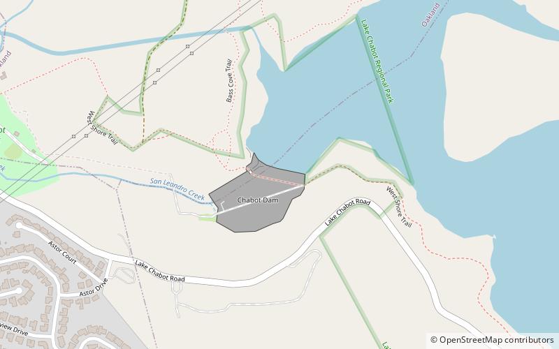
Lake Chabot is a man-made lake covering 317 acres in Alameda County, California, United States. Part of the lake lies within Oakland city limits, but most of it lies in unincorporated Castro Valley, just east of San Leandro. It was formed by the damming of San Leandro Creek. The lake was completed in 1875 to serve as a primary source of water for the East Bay. ()
Elevation: 226 ft a.s.l.Coordinates: 37°43'47"N, 122°7'19"W
Address
San Leandro
ContactAdd
Social media
Add
Day trips
Lake Chabot – popular in the area (distance from the attraction)
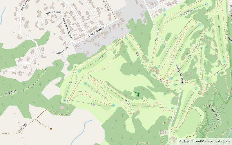
Nearby attractions include: Dunsmuir House, Lake Chabot Golf Course, Lake Chabot Regional Park, Chabot Park.
Frequently Asked Questions (FAQ)
How to get to Lake Chabot by public transport?
The nearest stations to Lake Chabot:
Bus
Bus
- Juvenile Justice Center • Lines: 35, Bf (23 min walk)
- MacArthur Boulevard & Estudillo Avenue • Lines: 34, 35 (24 min walk)


