Chabot Park, Oakland
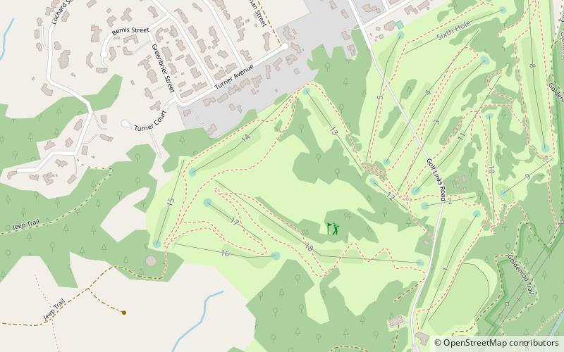
Map
Facts and practical information
Chabot Park is located in the Southeastern section of the Oakland Hills. This neighborhood has a population of ~2,845. Chabot Park is in Alameda County. Living in Chabot Park offers residents a sparse urban feel and most residents own their homes. In Chabot Park there are a lot of parks and expansive views. The neighborhood is adjacent to Knowland State Park and the Oakland Zoo. ()
Coordinates: 37°44'36"N, 122°7'25"W
Address
South Hills (Chabot Park)Oakland
ContactAdd
Social media
Add
Getting there by public transportation
Public transportation stops near this location
- Bus
 Bus
Bus
- Calculate routeMarlow Drive & Revere Avenue 25 min walk
- Calculate routeMacArthur Boulevard & Dutton Avenue 28 min walk
Day trips


Frequently Asked Questions (FAQ)
How to get to Chabot Park by public transport?
The nearest stations to Chabot Park:
Bus
Bus
- Marlow Drive & Revere Avenue • Lines: 34, 35 (25 min walk)
- MacArthur Boulevard & Dutton Avenue • Lines: 34, 35 (28 min walk)