Fountaingrove Lake, Santa Rosa
Map

Gallery

Facts and practical information
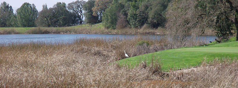
Fountaingrove Lake is a reservoir in the city of Santa Rosa, California, United States. Formed by the Fountaingrove Dam, the lake is fed from the east by Piner Creek, which is also the lake's sole outlet. ()
Elevation: 486 ft a.s.l.Coordinates: 38°29'11"N, 122°43'8"W
Address
FountaingroveSanta Rosa
ContactAdd
Social media
Add
Day trips
Fountaingrove Lake – popular in the area (distance from the attraction)
Nearby attractions include: Redwood Empire Ice Arena, Santa Rosa Plaza, Charles M. Schulz Museum, Coddingtown Mall.
Frequently Asked Questions (FAQ)
How to get to Fountaingrove Lake by public transport?
The nearest stations to Fountaingrove Lake:
Bus
Bus
- Piner Road & Range Avenue • Lines: 72, 72X, 74 (33 min walk)
- Piner Road & Industrial Drive • Lines: 101, 101X, 72, 72X, 74 (40 min walk)


