Greater Grand Forks Greenway, Grand Forks
Map

Gallery

Facts and practical information
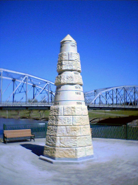
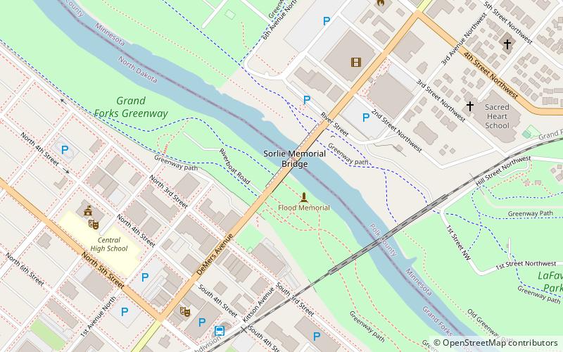
The Greater Grand Forks Greenway is a huge greenway bordering the Red River and Red Lake River in the twin cities of Grand Forks, North Dakota and East Grand Forks, Minnesota. At 2,200 acres, the Greenway is more than twice the size of New York City's Central Park. It has an extensive, 20-mile system of bike paths, which are used by bikers, walkers, joggers, and rollerbladers. In 2007, the system was designated as a National Recreation Trail by the National Park Service. ()
Coordinates: 47°55'34"N, 97°1'41"W
Address
Grand Forks
ContactAdd
Social media
Add
Day trips
Greater Grand Forks Greenway – popular in the area (distance from the attraction)
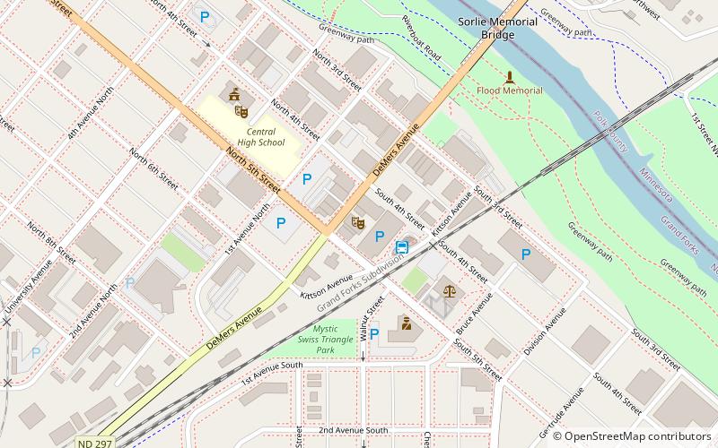
Nearby attractions include: Empire Arts Center, Grand Forks City Hall, Grand Forks Herald, Sorlie Memorial Bridge.
Frequently Asked Questions (FAQ)
Which popular attractions are close to Greater Grand Forks Greenway?
Nearby attractions include Building at 205 DeMers Ave., Grand Forks (2 min walk), Sorlie Memorial Bridge, Grand Forks (2 min walk), 312 Kittson Avenue, Grand Forks (4 min walk), Iddings Block, Grand Forks (4 min walk).


