Agnes Vaille Shelter, Rocky Mountain National Park

Gallery (1)
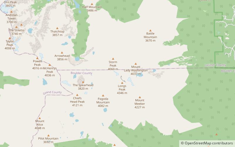
Map

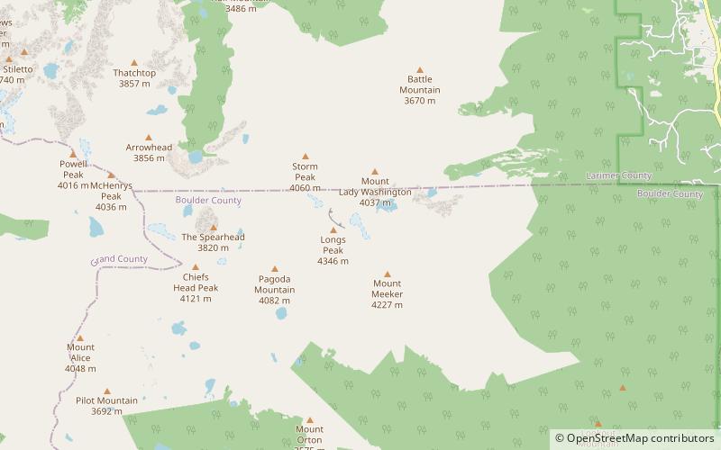
Map
Facts and practical information
The Agnes Vaille Shelter is a beehive-shaped stone shelter along E. Longs Peak Trail near the summit of Longs Peak in Rocky Mountain National Park, Colorado, USA. The first shelter was built in 1927 by the National Park Service after a number of climbers died ascending Longs Peak. The shelter was named for Agnes Vaille, who died while descending from the first winter ascent of the east face of Longs Peak on January 12, 1925. Herbert Sortland also died of exposure during an attempt to rescue Vaille. Vaille's family rebuilt the shelter in 1935. ()
Coordinates: 40°15'38"N, 105°37'12"W
Day trips


Frequently Asked Questions (FAQ)
Which popular attractions are close to Agnes Vaille Shelter?
Nearby attractions include The Dove, Rocky Mountain National Park (5 min walk), Longs Peak, Rocky Mountain National Park (13 min walk), Mills Glacier, Rocky Mountain National Park (17 min walk).