Encanto Park, Phoenix
Map

Gallery

Facts and practical information
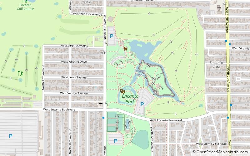
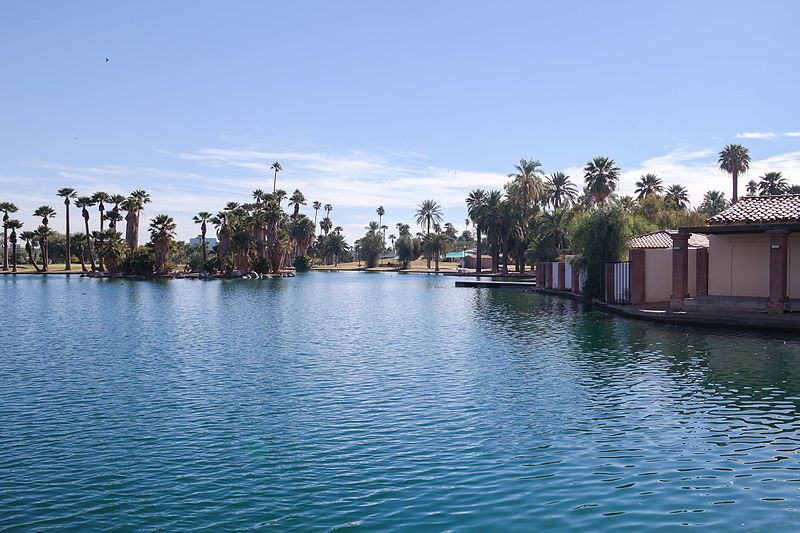
Encanto Park is a public park in central Phoenix, Arizona. The park is composed of 222 acres of land consisting of picnic areas, a lagoon, a boat house, swimming pool, nature trail, amusement park, fishing and two golf courses. The lagoon is approximately 7.5 acres in surface area and about 6 feet deep, on average. The park is bounded by Thomas Road on the north, Encanto Boulevard on the south, 15th Avenue on the west and 7th Avenue on the east and is at a surface elevation of 1,100 ft. ()
Elevation: 1093 ft a.s.l.Coordinates: 33°28'30"N, 112°5'24"W
Day trips
Encanto Park – popular in the area (distance from the attraction)
Nearby attractions include: Enchanted Island Amusement Park, Heard Museum, Phoenix Art Museum, Japanese Friendship Garden of Phoenix.
Frequently Asked Questions (FAQ)
Which popular attractions are close to Encanto Park?
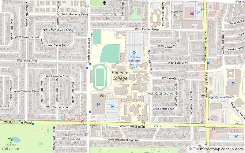
Nearby attractions include Enchanted Island Amusement Park, Phoenix (1 min walk), Encanto, Phoenix (3 min walk), Phoenix College, Phoenix (15 min walk).


