Trunk Space, Phoenix

Map
Facts and practical information
The Trunk Space is an all-ages music venue in Phoenix, Arizona, United States. It is located at 1124 N 3rd Street. ()
Opened: 2004 (22 years ago)Coordinates: 33°27'33"N, 112°5'31"W
Day trips
Trunk Space – popular in the area (distance from the attraction)
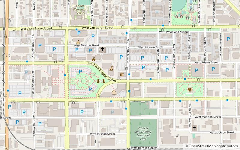
Nearby attractions include: Enchanted Island Amusement Park, Arizona Federal Theatre, Wesley Bolin Memorial Plaza, Arizona State Capitol.
Frequently Asked Questions (FAQ)
Which popular attractions are close to Trunk Space?
Nearby attractions include F. Q. Story Neighborhood Historic District, Phoenix (8 min walk), Arizona State Capitol, Phoenix (18 min walk), Polly Rosenbaum Building, Phoenix (19 min walk), Arizona Mining and Mineral Museum, Phoenix (19 min walk).
How to get to Trunk Space by public transport?
The nearest stations to Trunk Space:
Bus
Bus
- 10336 • Lines: 3 Eb (15 min walk)


