Arlington Center Historic District, Arlington
Map

Gallery

Facts and practical information
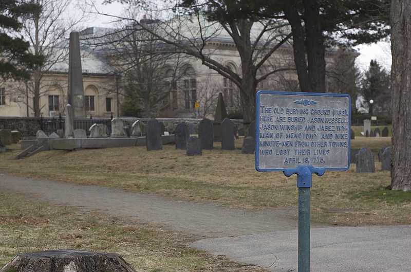
The Arlington Center Historic District includes the civic and commercial heart of Arlington, Massachusetts. It runs along the town's main commercial district, Massachusetts Avenue, from Jason Street to Franklin Street, and includes adjacent 19th- and early 20th-century residential areas roughly bounded by Jason Street, Pleasant Street, and Gray Street. The district was listed on the National Register of Historic Places in 1974. ()
Coordinates: 42°24'53"N, 71°9'21"W
Address
Arlington (Arlington Center)Arlington
ContactAdd
Social media
Add
Day trips
Arlington Center Historic District – popular in the area (distance from the attraction)
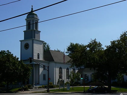
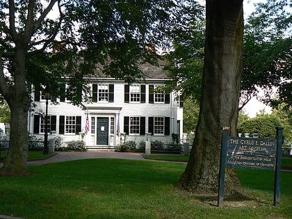
Nearby attractions include: Fitchburg Cutoff, Calvary Methodist Church, Cyrus Dallin Art Museum, Spy Pond.
Frequently Asked Questions (FAQ)
Which popular attractions are close to Arlington Center Historic District?
Nearby attractions include Pleasant Street Congregational Church, Arlington (2 min walk), Robbins Library, Arlington (2 min walk), First Parish Church, Arlington (3 min walk), Highrock Church, Arlington (4 min walk).
How to get to Arlington Center Historic District by public transport?
The nearest stations to Arlington Center Historic District:
Bus
Train
Bus
- Pleasant St @ Kensington St • Lines: 67 (11 min walk)
Train
- West Medford (32 min walk)


