Fitchburg Cutoff, Boston
Map

Map

Facts and practical information
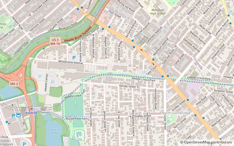
The Fitchburg Cutoff was a rail line running 2.8 miles from Brighton Street in Belmont, Massachusetts to Somerville Junction in Somerville, Massachusetts. It was constructed in two segments in 1870 and 1881; passenger service lasted until 1927. Freight service ended in 1979–80 to allow construction of the Red Line Northwest Extension; the line was abandoned in three sections in 1979, 1983, and 2007. ()
Opened: 1870 (156 years ago)Elevation: 7 ft a.s.l.Coordinates: 42°23'53"N, 71°8'4"W
Address
Wittermore AveCambridge (North Cambridge)Boston 02140
ContactAdd
Social media
Add
Day trips
Fitchburg Cutoff – popular in the area (distance from the attraction)
Nearby attractions include: Lizard Lounge, Somerville Community Path, Davis Square, Somerville Theatre.
Frequently Asked Questions (FAQ)
Which popular attractions are close to Fitchburg Cutoff?
Nearby attractions include North Cambridge, Arlington (7 min walk), St. John the Evangelist Church, Boston (9 min walk), Butterfield-Whittemore House, Arlington (9 min walk), Rindge Towers, Arlington (10 min walk).
How to get to Fitchburg Cutoff by public transport?
The nearest stations to Fitchburg Cutoff:
Metro
Bus
Train
Metro
- Alewife • Lines: Red (9 min walk)
- Davis • Lines: Red (16 min walk)
Bus
- Alewife (11 min walk)
Train
- Porter (27 min walk)

 MBTA Subway


