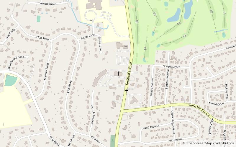
St. Cecilia Church, Stamford
Map
Facts and practical information
St. Cecilia is a Roman Catholic church in Stamford, Connecticut, United States, part of the Diocese of Bridgeport. ()
Coordinates: 41°6'2"N, 73°31'54"W
Address
Newfield - Westover - Turn of RiverStamford
ContactAdd
Social media
Add
Getting there by public transportation
Public transportation stops near this location
- Train
 Train
Train
- Calculate routeSpringdale 28 min walk
Day trips


Frequently Asked Questions (FAQ)
How to get to St. Cecilia Church by public transport?
The nearest stations to St. Cecilia Church:
Train
Train
- Springdale (28 min walk)