Theatre Under The Stars, Houston
Facts and practical information
Theatre Under the Stars is a year-round, professional, non-profit musical theatre production company. It is located in Houston, Texas, performing mostly at the Hobby Center for the Performing Arts. Theatre Under The Stars’ season generally includes both self-produced shows as well as national touring productions. While best known for their main stage shows at the Hobby Center in Downtown Houston, and their annual free summer shows at the Miller Outdoor Theatre, it also offers educational programming through their training branch, education programs for children with special needs through The River, and a wide array of community outreach projects. Founded by Frank M. Young in 1968, TUTS is currently under the management of Tony Award-nominated artistic director Dan Knechtges and executive director, Hilary J. Hart. ()
- Bus
- Light rail
- Train
 Bus
Bus
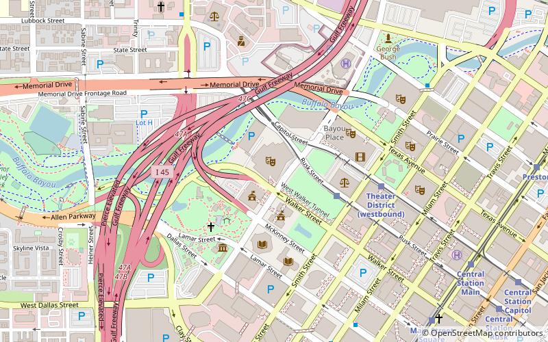
- Calculate routeTheater District 5 min walk
- Calculate routeCentral Station Main 11 min walk
- Calculate routeMain Street Square 11 min walk
- Calculate routeHouston 11 min walk
- Calculate routeDowntown Transit Center 20 min walk
- Calculate routeFlixBus Houston 20 min walk
- Calculate routeGreyhound Bus Lines 24 min walk
- Calculate routeBurnett Transit Center 26 min walk


Frequently Asked Questions (FAQ)
When is Theatre Under The Stars open?
- Monday 9 am - 5:30 pm
- Tuesday 9 am - 5:30 pm
- Wednesday 9 am - 5:30 pm
- Thursday 9 am - 5:30 pm
- Friday 9 am - 5:30 pm
- Saturday closed
- Sunday closed
Which popular attractions are close to Theatre Under The Stars?
How to get to Theatre Under The Stars by public transport?
Light rail
- Theater District • Lines: Green, Purple (5 min walk)
- Central Station Main • Lines: Red (11 min walk)
Train
- Houston (11 min walk)
Bus
- Downtown Transit Center (20 min walk)
- FlixBus Houston • Lines: 2210, 2211, 2240, 2271 (20 min walk)