Eagle Houston, Houston
Facts and practical information
Eagle Houston is a prominent venue within the vibrant city of Houston, United States, known for being a central hub for the LGBTQ community. Established as a leather bar, it has evolved into a space that welcomes a diverse crowd while maintaining its roots in the leather and LGBTQ scenes.
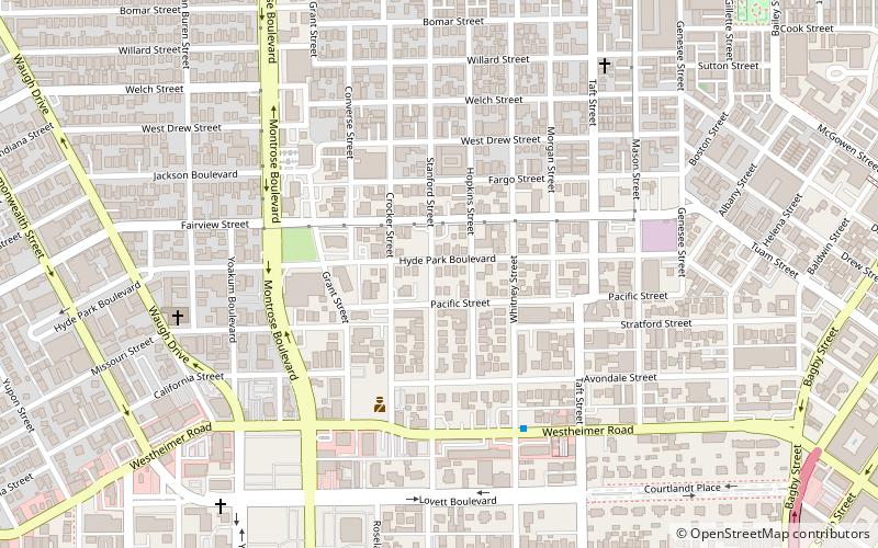
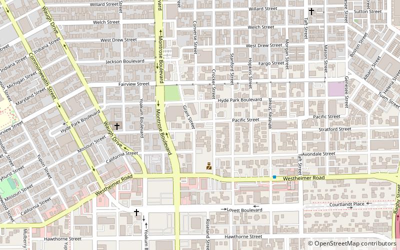
The venue is located in the Montrose neighborhood, a culturally rich and diverse area known for its inclusivity and strong sense of community. Eagle Houston has gained a reputation for being more than just a bar; it's a place where individuals can come together to socialize, celebrate, and find support among like-minded people.
Eagle Houston offers a variety of events and themed nights that cater to different segments of the community, from drag shows to leather socials, ensuring there's something for everyone. It's not just a nightlife spot; it's a cultural institution that plays a significant role in the fabric of Houston's LGBTQ society.
With a laid-back atmosphere and a friendly staff, visitors can enjoy a range of beverages and occasional live music or DJ sets. The venue is designed to be welcoming and safe, providing a sanctuary where patrons can express themselves freely and enjoy a sense of camaraderie.
Inner Loop (Neartown - Montrose)Houston
- Bus
- Light rail
 Bus
Bus
- Calculate routeEnsemble/HCC 21 min walk
- Calculate routeMcGowen 23 min walk
- Calculate routeWheeler 27 min walk
- Calculate routeDowntown Transit Center 29 min walk
- Calculate routeFlixBus Houston 23 min walk
- Calculate routeWheeler Station Transit Center 27 min walk
- Calculate routeGreyhound Bus Lines 27 min walk
- Calculate routeDowntown Transit Center 28 min walk


Frequently Asked Questions (FAQ)
Which popular attractions are close to Eagle Houston?
How to get to Eagle Houston by public transport?
Light rail
- Ensemble/HCC • Lines: Red (21 min walk)
- McGowen • Lines: Red (23 min walk)
Bus
- FlixBus Houston • Lines: 2210, 2211, 2240, 2271 (23 min walk)
- Wheeler Station Transit Center (27 min walk)