Jamaica, New York City
Map
Gallery
Facts and practical information
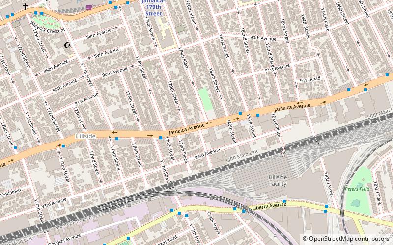
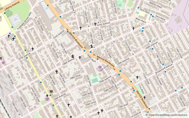
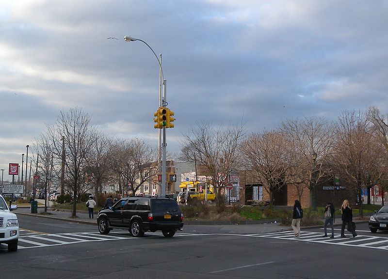
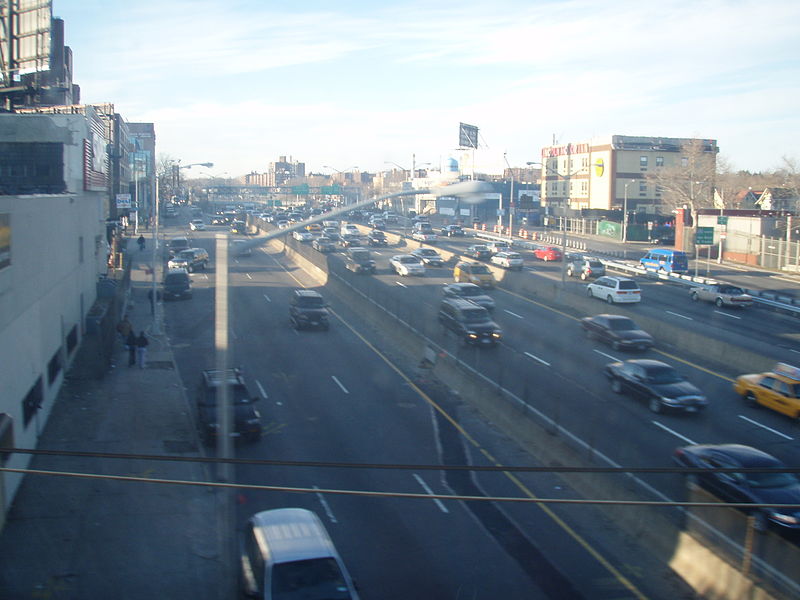
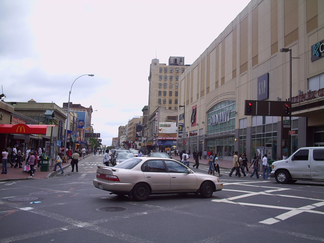
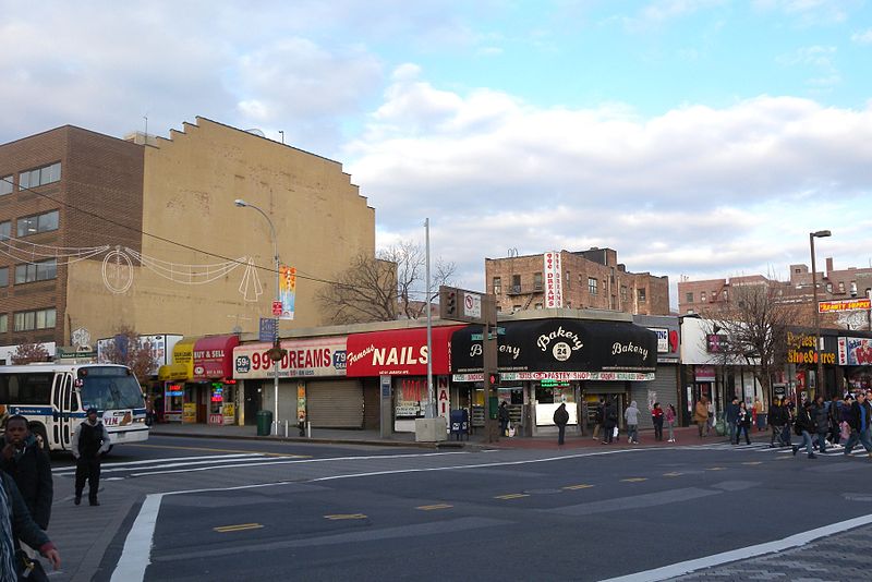
Jamaica is a neighborhood in the New York City borough of Queens. It is mainly composed of a large commercial and retail area, though part of the neighborhood is also residential. Jamaica is bordered by Hollis to the east; St. Albans, Springfield Gardens, Rochdale Village to the southeast; South Jamaica to the south; Richmond Hill and South Ozone Park to the west; Briarwood to the northwest; and Kew Gardens Hills, Jamaica Hills, and Jamaica Estates to the north. ()
Address
Southeastern Queens (Jamaica)New York City
ContactAdd
Social media
Add
Day trips
Jamaica – popular in the area (distance from the attraction)
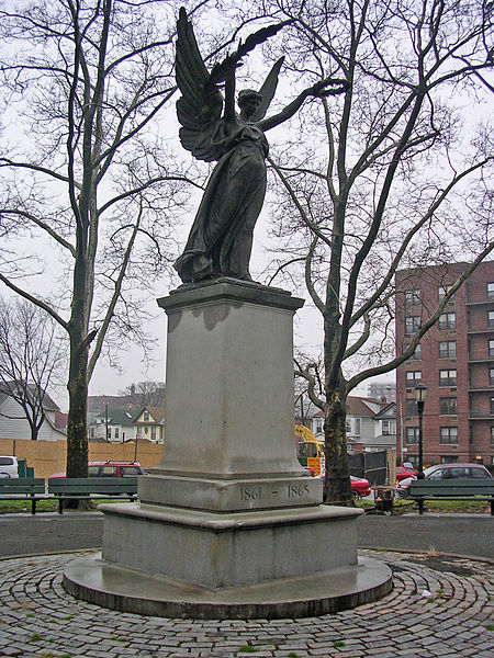
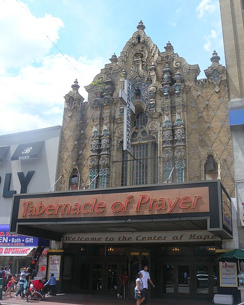
Nearby attractions include: Captain Tilly Park, Loew's Valencia Theatre, Judge Moses Weinstein Playground, Montauk Branch.
Frequently Asked Questions (FAQ)
Which popular attractions are close to Jamaica?
Nearby attractions include Jamaica Center for Arts & Learning, New York City (2 min walk), St. Monica's Church, New York City (4 min walk), Jamaica Chamber of Commerce Building, New York City (4 min walk), Grace Episcopal Church Complex, New York City (4 min walk).
How to get to Jamaica by public transport?
The nearest stations to Jamaica:
Metro
Bus
Train
Light rail
Metro
- Jamaica Center–Parsons/Archer • Lines: E, J, Z (4 min walk)
- Parsons Boulevard • Lines: <F>, F (10 min walk)
Bus
- Archer Avenue & 153rd Street • Lines: Q44 Sbs, Q9 (6 min walk)
- Jamaica Avenue & 150th Street • Lines: Q24, Q30, Q31, Q54, Q56, Q6, Q8, Q9 (8 min walk)
Train
- Jamaica (14 min walk)
Light rail
- Jamaica • Lines: Jfk (16 min walk)



 Subway
 Manhattan Buses


