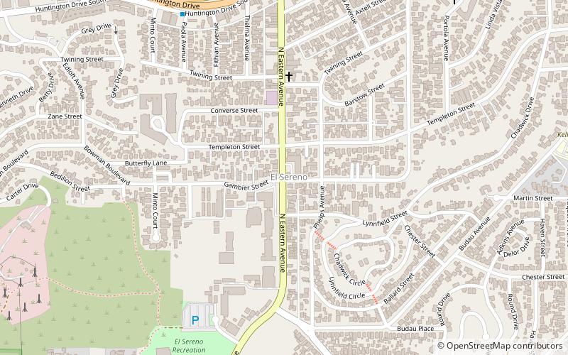
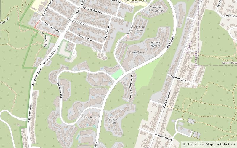
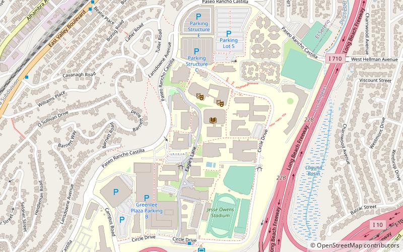
El Sereno, Los Angeles
Map
Facts and practical information
El Sereno is a Los Angeles neighborhood in the Eastside Los Angeles region of Los Angeles County, California. ()
Address
Eastside Los Angeles (El Sereno)Los Angeles
ContactAdd
Social media
Add
Getting there by public transportation
Public transportation stops near this location
- Bus
 Bus
Bus
- Calculate routeMetro 76 19 min walk
Maps Metro & Regional Rail
Metro & Regional RailDay trips


Frequently Asked Questions (FAQ)
How to get to El Sereno by public transport?
The nearest stations to El Sereno:
Bus
Bus
- Metro 76 • Lines: 76 (19 min walk)