NoMa, Washington D.C.
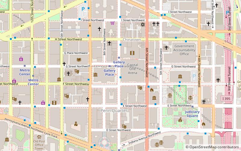
Map
Map

Facts and practical information
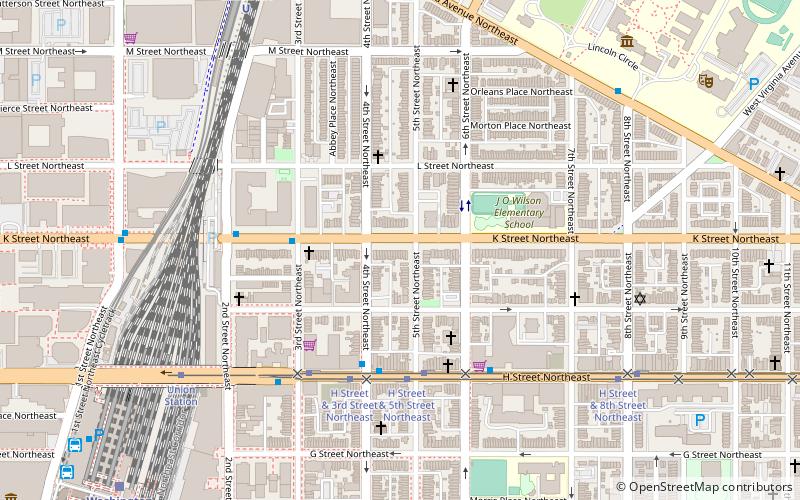
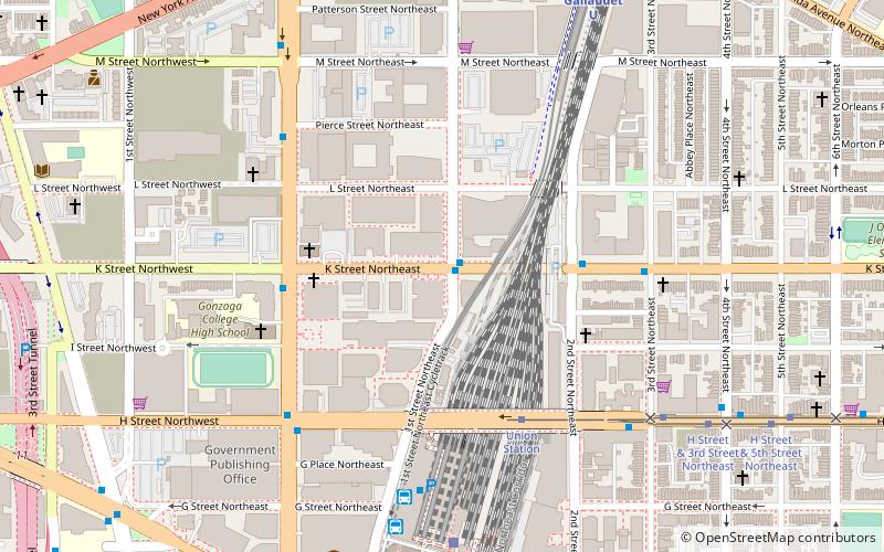
"NoMa" is a moniker for the area North of Massachusetts Avenue located north and east of Union Station in Washington, D.C., United States. NoMa includes the neighborhoods of Sursum Corda, Eckington, and Near Northeast and includes a section historically known as Swampoodle. ()
Coordinates: 38°54'9"N, 77°0'22"W
Day trips
NoMa – popular in the area (distance from the attraction)
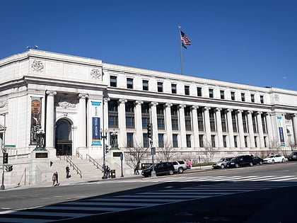
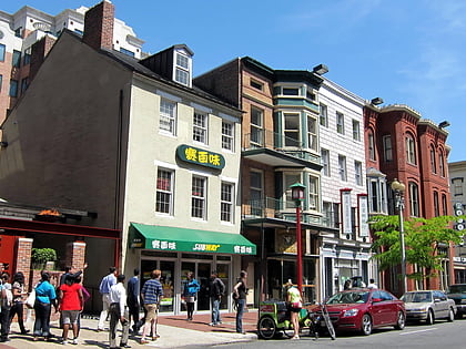
Nearby attractions include: Columbus Fountain, National Postal Museum, H Street, Capital One Arena.
Frequently Asked Questions (FAQ)
Which popular attractions are close to NoMa?
Nearby attractions include St. Aloysius Church, Washington D.C. (5 min walk), Chesapeake and Potomac Telephone Company Warehouse and Repair Facility, Washington D.C. (6 min walk), Woodward & Lothrop Service Warehouse, Washington D.C. (6 min walk), H Street, Washington D.C. (7 min walk).
How to get to NoMa by public transport?
The nearest stations to NoMa:
Tram
Bus
Train
Metro
Tram
- Union Station • Lines: H Street/Benning Road Streetcar (5 min walk)
- H Street & 8th Street Northeast • Lines: H Street/Benning Road Streetcar (16 min walk)
Bus
- BoltBus (6 min walk)
- Megabus (7 min walk)
Train
- Washington Union Station (8 min walk)
- Hart (17 min walk)
Metro
- Union Station • Lines: Rd (9 min walk)
- NoMa–Gallaudet U • Lines: Rd (9 min walk)


