Jamboree Road, Santa Ana
Map

Map

Facts and practical information
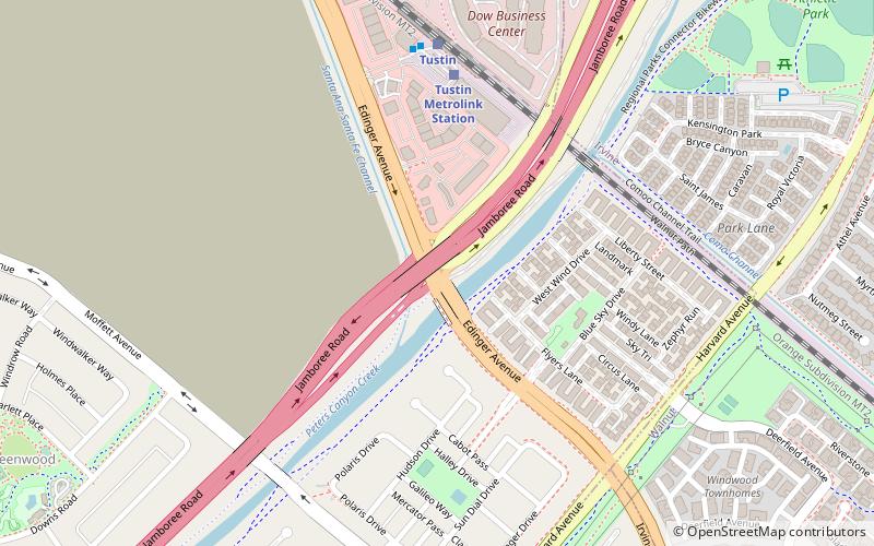
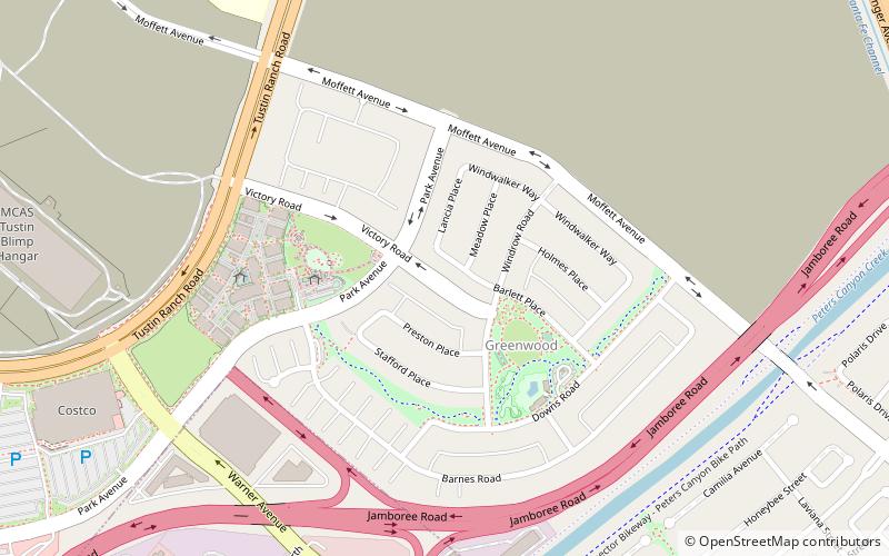
Jamboree Road is a 15.8-mile long major arterial road through Orange County, California, running through the cities of Newport Beach, Irvine, Tustin, and Orange. ()
Coordinates: 33°42'15"N, 117°48'22"W
Address
3091 Edinger AveTustin (Tustin Legacy)Santa Ana
ContactAdd
Social media
Add
Day trips
Jamboree Road – popular in the area (distance from the attraction)
Nearby attractions include: The District, Chinmaya Mission of Los Angeles, Tustin Legacy, The Rinks Irvine Inline.
Frequently Asked Questions (FAQ)
How to get to Jamboree Road by public transport?
The nearest stations to Jamboree Road:
Train
Train
- Tustin Metrolink Station (6 min walk)
- Tustin (7 min walk)


