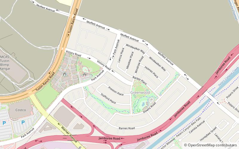
Tustin Legacy, Santa Ana
Map
Facts and practical information
Tustin Legacy is a 1,600-acre planned community in Tustin, California being developed on the former Marine Corps Air Station Tustin. The project, under construction, will include parks, a commercial retail center and various densities of housing, for a total of 4,600 units. ()
Coordinates: 33°42'8"N, 117°48'56"W
Address
Tustin (Tustin Legacy)Santa Ana
ContactAdd
Social media
Add
Getting there by public transportation
Public transportation stops near this location
- Train
 Train
Train
- Calculate routeTustin 18 min walk
- Calculate routeTustin Metrolink Station 18 min walk
Day trips


Frequently Asked Questions (FAQ)
How to get to Tustin Legacy by public transport?
The nearest stations to Tustin Legacy:
Train
Train
- Tustin (18 min walk)
- Tustin Metrolink Station (18 min walk)