Linden Hills, Minneapolis
Map

Map

Facts and practical information
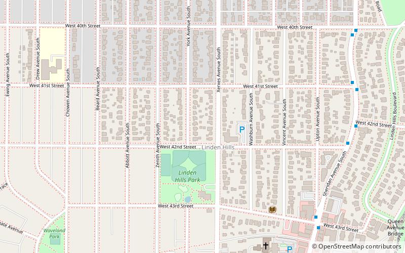
Linden Hills is a neighborhood in the Southwest community of Minneapolis on a hill overlooking Lake Harriet. It was one of the last areas to be developed in the City of Minneapolis. A majority of the land around where neighborhood is today was cottages and open land until the 1870s. The area started growing following the extension of the Como-Harriet Streetcar Line through the neighborhood. It gained a reputation as popular destination area for the young and wealthy of Minneapolis to get away from the city. ()
Area: 1.39 mi²Coordinates: 44°55'39"N, 93°19'10"W
Day trips
Linden Hills – popular in the area (distance from the attraction)
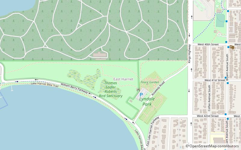
Nearby attractions include: Lyndale Park, Lake Calhoun, The Bakken Museum, Lake Harriet.
Frequently Asked Questions (FAQ)
Which popular attractions are close to Linden Hills?
Nearby attractions include Linden Hills Library, Minneapolis (6 min walk), Minnesota Streetcar Museum, Minneapolis (12 min walk), Queen Avenue Bridge, Minneapolis (12 min walk), Interlachen Bridge, Minneapolis (16 min walk).
How to get to Linden Hills by public transport?
The nearest stations to Linden Hills:
Bus
Bus
- Xerxes Av S • Lines: 46A, 46D (27 min walk)
- 50 St W • Lines: 4P (31 min walk)


