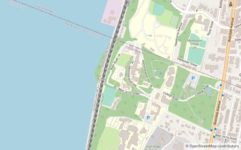
College of Mount Saint Vincent, New York City
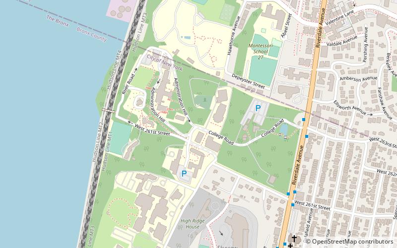
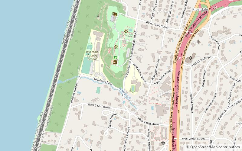
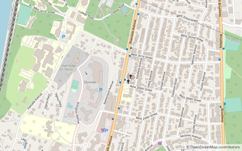
Map
Facts and practical information
The College of Mount Saint Vincent is a Catholic liberal arts college in New York City. It was founded in 1847 by the Sisters of Charity of New York. ()
Established: 1847 (179 years ago)Coordinates: 40°54'45"N, 73°54'26"W
Getting there by public transportation
Public transportation stops near this location
- Train
 Train
Train
- Calculate routeRiverdale 17 min walk
- Calculate routeLudlow 19 min walk
Maps SubwayMaps
 Manhattan Buses
SubwayMapsManhattan BusesDay trips
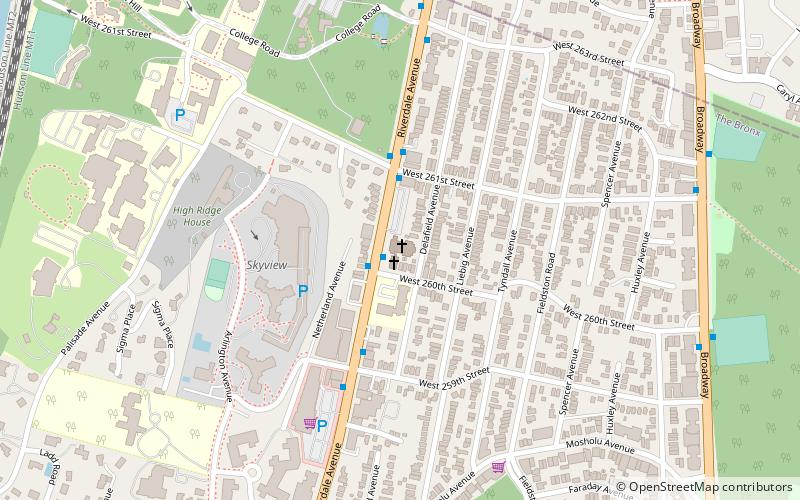
College of Mount Saint Vincent – popular in the area (distance from the attraction)
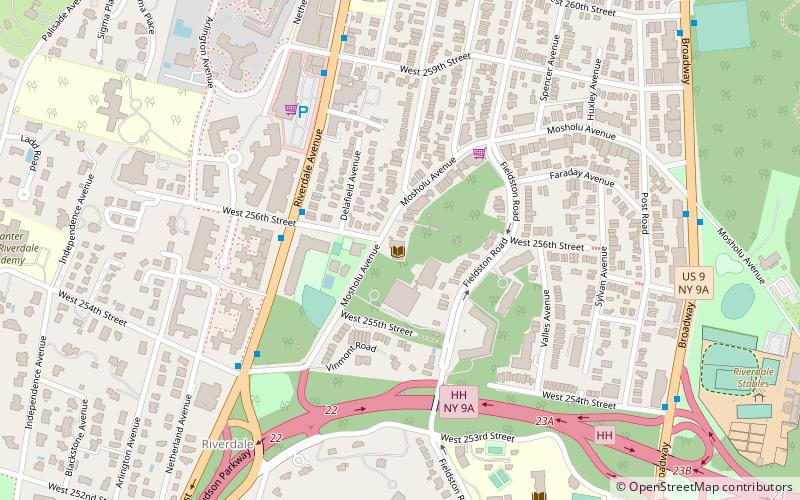
Nearby attractions include: Immaculate Conception St. Mary's Church, Wave Hill, Van Cortlandt Park, Vinmont Veteran Park.


Frequently Asked Questions (FAQ)
Which popular attractions are close to College of Mount Saint Vincent?
Nearby attractions include College of Mount Saint Vincent - Elizabeth Seton Library, New York City (2 min walk), Fonthill Castle, New York City (4 min walk), Derfner Judaica Museum, New York City (7 min walk), North Riverdale, Yonkers (8 min walk).
How to get to College of Mount Saint Vincent by public transport?
The nearest stations to College of Mount Saint Vincent:
Train
Train
- Riverdale (17 min walk)
- Ludlow (19 min walk)