Mill Park, Portland

Map
Facts and practical information
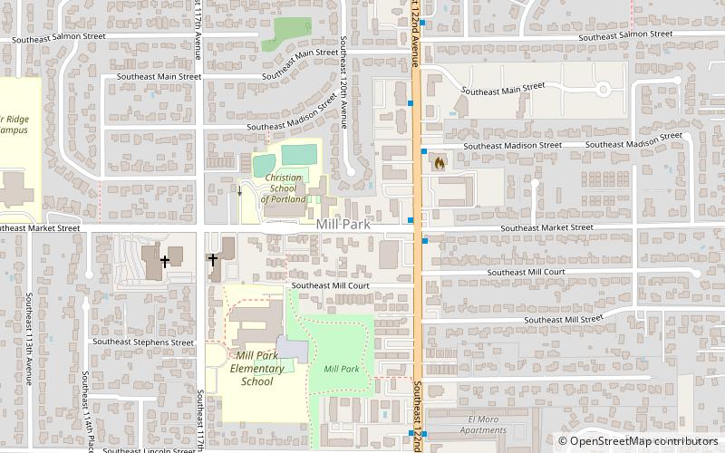
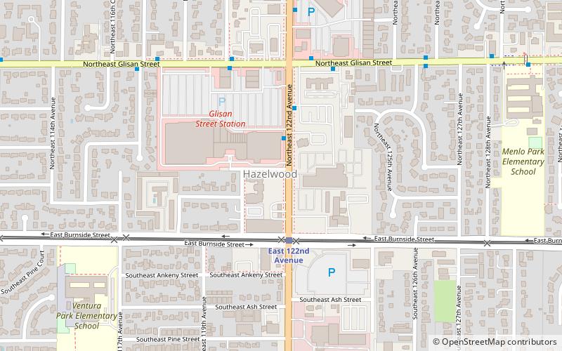
Mill Park is a neighborhood in the outer Southeast section of Portland, Oregon, United States. It borders Hazelwood on the west, north and east, and Powellhurst-Gilbert on the south. ()
Coordinates: 45°30'42"N, 122°32'20"W
Day trips
Mill Park – popular in the area (distance from the attraction)
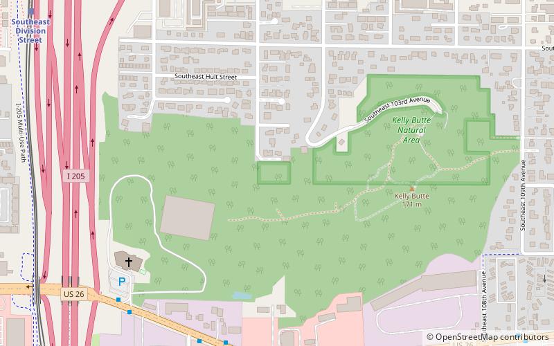
Nearby attractions include: Mall 205, Ed Benedict Park, Portland Memory Garden, Kelly Butte Natural Area.
Frequently Asked Questions (FAQ)
Which popular attractions are close to Mill Park?
Nearby attractions include Midland Library, Portland (10 min walk), Hazelwood, Portland (22 min walk).
How to get to Mill Park by public transport?
The nearest stations to Mill Park:
Bus
Light rail
Bus
- Southeast 122nd & Market • Lines: 73 (2 min walk)
- 1300 Block Southeast 122nd • Lines: 73 (4 min walk)
Light rail
- East 122nd Avenue • Lines: Blue (20 min walk)
- East 102nd Avenue • Lines: Blue (31 min walk)


