Carrizo Canyon, Anza-Borrego Desert State Park

Map
Facts and practical information
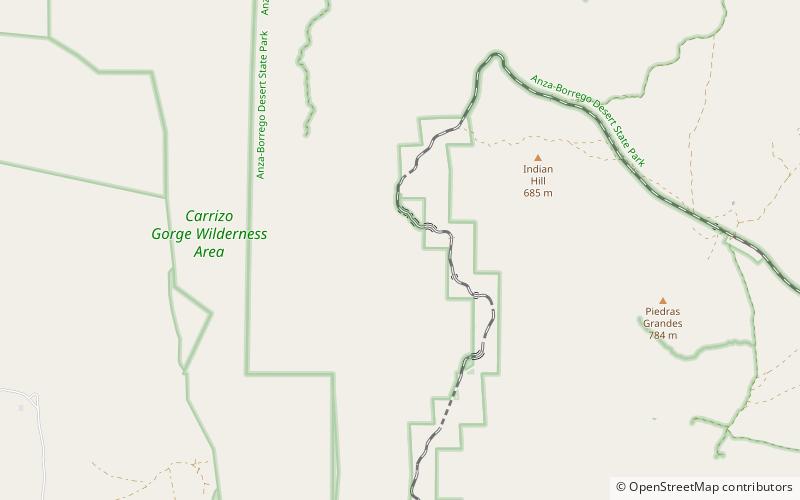
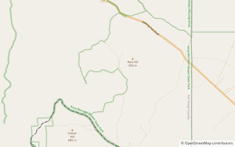
Carrizo Canyon is a canyon in San Diego County, California. Its mouth is at an elevation of 699 feet / 213 meters. It heads at 32°44′39″N 116°11′50″W in the mouth of Carrizo Gorge, at an elevation of 1,411 feet / 430 meters, and trends north to where it opens out in southeastern Carrizo Valley less than a mile east of Egg Mountain. ()
Coordinates: 32°44'39"N, 116°11'49"W
Address
Anza-Borrego Desert State Park
ContactAdd
Social media
Add
Day trips
Carrizo Canyon – popular in the area (distance from the attraction)
Nearby attractions include: Carrizo Gorge, Jacumba Mountains, Volcanic Hills.


