The Palisades, Washington D.C.
Map

Gallery

Facts and practical information
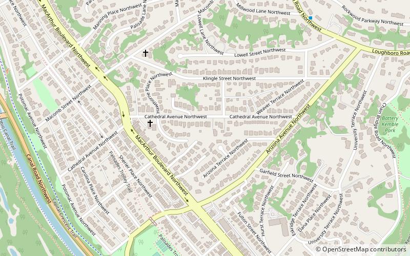
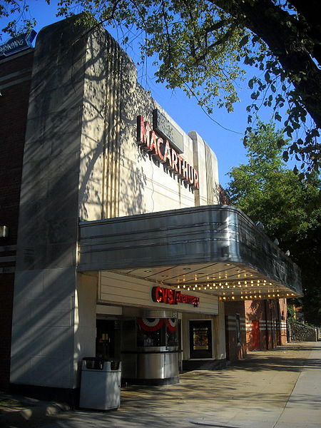
The Palisades, or simply Palisades, is a neighborhood in Washington, D.C., along the Potomac River, running roughly from the edge of the Georgetown University campus to the D.C.-Maryland boundary. MacArthur Boulevard is the main thoroughfare that passes through the Palisades. ()
Coordinates: 38°55'48"N, 77°6'13"W
Address
Northwest Washington (Foxhall-Palisades)Washington D.C.
ContactAdd
Social media
Add
Day trips
The Palisades – popular in the area (distance from the attraction)
Nearby attractions include: Bender Arena, Chain Bridge, Kreeger Museum, Fletcher's Cove.
Frequently Asked Questions (FAQ)
Which popular attractions are close to The Palisades?
Nearby attractions include Dr. Franklin E. Kameny House, Washington D.C. (2 min walk), Potomac Heights, Washington D.C. (8 min walk), Battery Kemble Park, Washington D.C. (11 min walk), Chain Bridge, Washington D.C. (15 min walk).
How to get to The Palisades by public transport?
The nearest stations to The Palisades:
Bus
Bus
- South Campus • Lines: White Route (20 min walk)
- Military Road at N Old Glebe Rd • Lines: 53A, 53B (28 min walk)


