Ward Circle, Washington D.C.
Map
Map

Facts and practical information
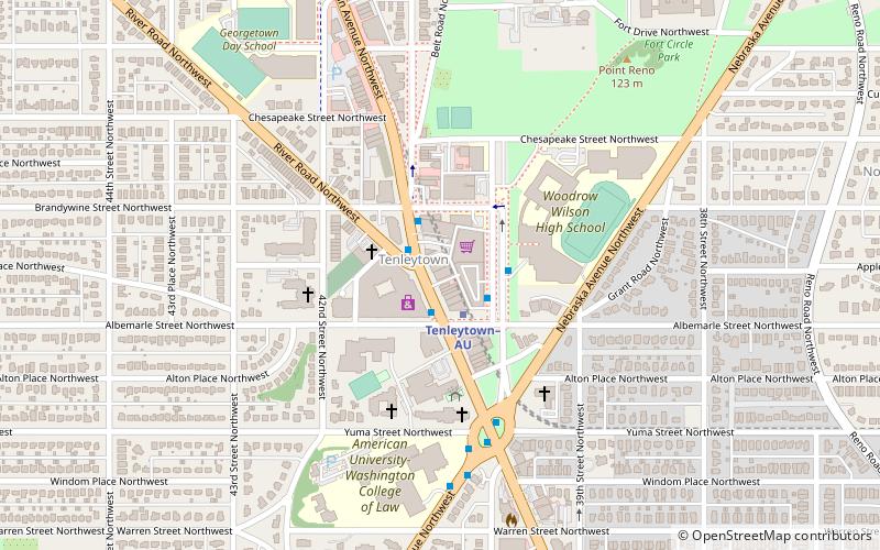
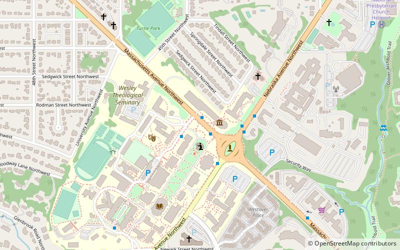
Ward Circle is a traffic circle at the intersection of Nebraska and Massachusetts Avenues in Northwest, Washington, D.C. The circle, totaling 30,243 sq ft, is owned and administered by the National Park Service through its Rock Creek Park unit. On three sides is the campus of American University, while the fourth is occupied by the Nebraska Avenue Complex, a U.S. government facility. ()
Day trips
Ward Circle – popular in the area (distance from the attraction)
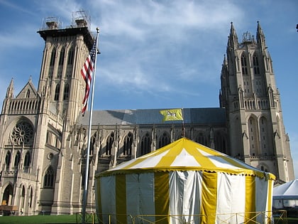
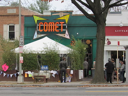
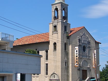
Nearby attractions include: All Hallows Guild Carousel, Comet Ping Pong, Bender Arena, National Presbyterian Church.
Frequently Asked Questions (FAQ)
Which popular attractions are close to Ward Circle?
Nearby attractions include Katzen Arts Center, Washington D.C. (1 min walk), American University Museum, Washington D.C. (2 min walk), Bender Arena, Washington D.C. (5 min walk), National Presbyterian Church, Washington D.C. (10 min walk).
How to get to Ward Circle by public transport?
The nearest stations to Ward Circle:
Bus
Metro
Bus
- South Campus • Lines: White Route (8 min walk)
Metro
- Tenleytown–AU • Lines: Rd (21 min walk)

