Twin Falls Original Townsite Residential Historic District, Twin Falls

Gallery (1)
Map
Map
Facts and practical information
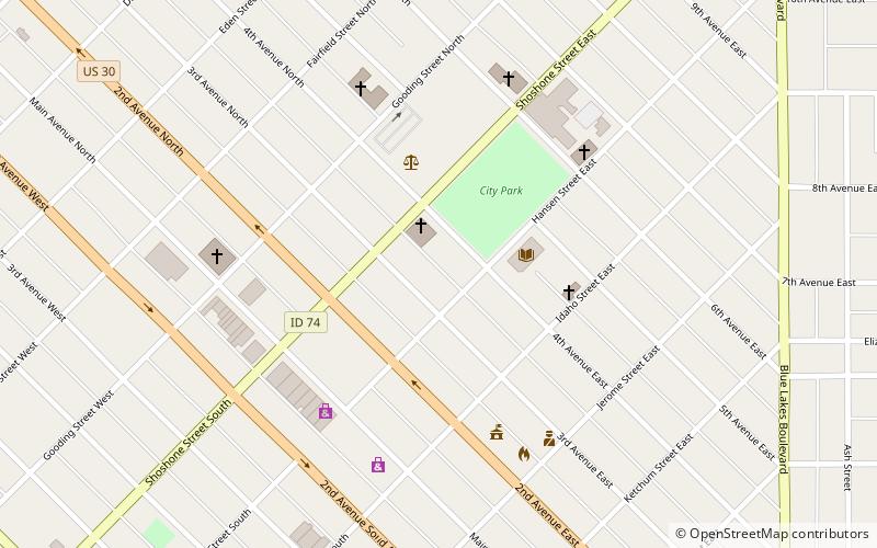
The Twin Falls Original Townsite Residential Historic District in Twin Falls, Idaho is a 264 acres historic district which was listed on the National Register of Historic Places in 2001. ()
Area: 0.41 mi²Coordinates: 42°33'25"N, 114°28'1"W
Address
Twin Falls
ContactAdd
Social media
Add
Day trips


