Judiciary Square, Washington D.C.
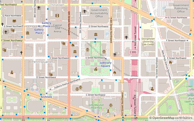
Map
Gallery
Facts and practical information
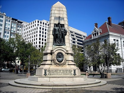
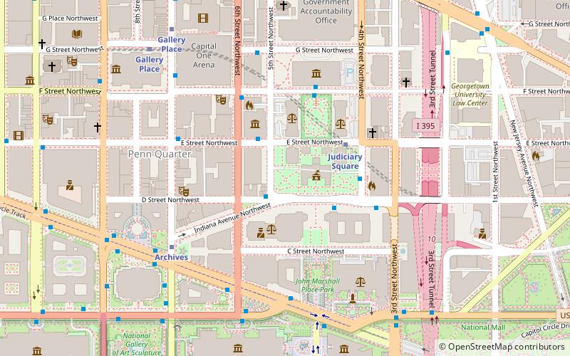
Judiciary Square is a neighborhood in Northwest Washington, D.C., the vast majority of which is occupied by various federal and municipal courthouses and office buildings. Judiciary Square is located roughly between Pennsylvania Avenue to the south, H Street to the north, 6th Street to the west, and the Interstate 395 access tunnel to the east. ()
Coordinates: 38°53'43"N, 77°1'7"W
Address
Northwest Washington (Downtown-Penn Quarter-Chinatown)Washington D.C.
Contact
Social media
Add
Day trips
Judiciary Square – popular in the area (distance from the attraction)
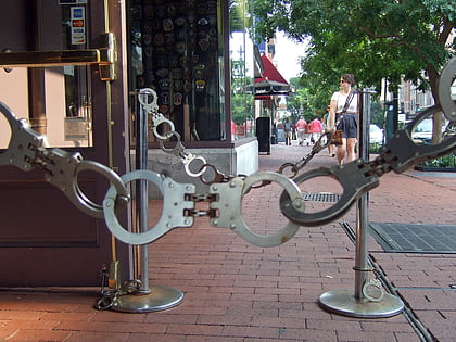
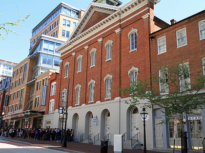
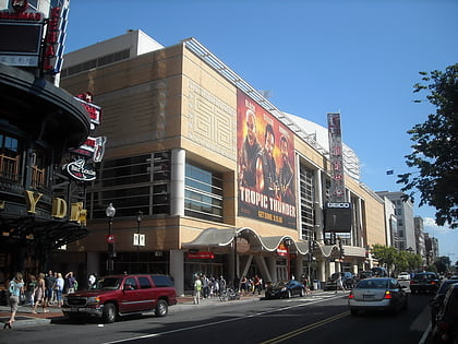
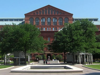
Nearby attractions include: Newseum, National Building Museum, National Gallery of Art Sculpture Garden, National Museum of Crime and Punishment.
Frequently Asked Questions (FAQ)
Which popular attractions are close to Judiciary Square?
Nearby attractions include Darlington Memorial Fountain, Washington D.C. (1 min walk), United States Court of Military Appeals, Washington D.C. (1 min walk), District of Columbia City Hall, Washington D.C. (2 min walk), Statue of Abraham Lincoln, Washington D.C. (2 min walk).
How to get to Judiciary Square by public transport?
The nearest stations to Judiciary Square:
Metro
Train
Bus
Tram
Metro
- Judiciary Square • Lines: Rd (3 min walk)
- Archives • Lines: Gr, Yl (6 min walk)
Train
- Russell (17 min walk)
- U.S. Capitol (17 min walk)
Bus
- Washington Deluxe Bus (17 min walk)
- FlixBus Washington Union Station • Lines: 2601, 2602, 2668, N2610 (17 min walk)
Tram
- Union Station • Lines: H Street/Benning Road Streetcar (21 min walk)
- H Street & 5th Street Northeast • Lines: H Street/Benning Road Streetcar (28 min walk)


