Kratka Ridge, San Gabriel Mountains National Monument
#32 among attractions in San Gabriel Mountains National Monument


Facts and practical information
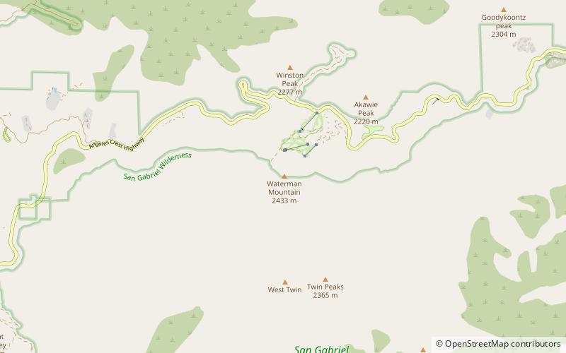
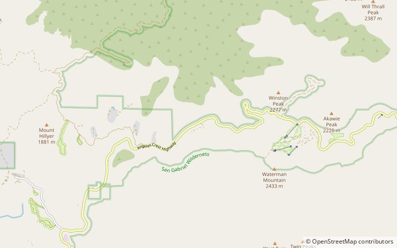
Kratka Ridge or Snowcrest is a skiable area on Waterman Mountain in the San Gabriel Mountains of Los Angeles County, California. Located 36 miles northeast of La Cañada and Pasadena along the Angeles Crest Highway, it reaches a height of 7,515 feet. ()
San Gabriel Mountains National Monument United States
San Gabriel Mountains National Monument plan & book
Unleash the traveler in you — discover the cheapest flight deals, find the perfect hotel or hostel nearby, and search for the best car rental prices. Travel at your own pace to discover new places and enjoy your journey.
Kratka Ridge – popular in the area (distance from the attraction)
Nearby attractions include: Devil's Punchbowl, Mount Islip, Throop Peak, Crystal Lake Recreation Area.
4.9 miNENature, Natural attraction, CanyonDevil's Punchbowl, San Gabriel Mountains National Monument
125 min walk • Tucked away in the San Gabriel Mountains National Monument lies a natural wonder that draws visitors from near and far: the Devil's Punchbowl. This unique geological formation, characterized by its dramatically sloping sandstone formations, presents a striking contrast...
3.3 miENature, Natural attraction, MountainMount Islip, San Gabriel Mountains National Monument
84 min walk • Mount Islip is a 8,250-foot peak in the Angeles National Forest in California, United States. On a clear day the sharp, high peak provides impressive views of the Mojave Desert, the Los Angeles Basin, Santa Catalina Island, and San Clemente Island.
5.6 miENature, Natural attraction, MountainThroop Peak, Sheep Mountain Wilderness
143 min walk • Throop Peak is a 9,142 feet peak of the San Gabriel Mountains, in the San Gabriel Mountains National Monument and Angeles National Forest, in Los Angeles County, California.
3.8 miSELake, ParkCrystal Lake Recreation Area, San Gabriel Mountains National Monument
98 min walk • The Crystal Lake Recreation Area is located in the San Gabriel Mountains of Southern California, administered by the San Gabriel Mountains National Monument of the United States Forest Service.
3.9 miEHiking, Hiking trailWindy Gap Trail, San Gabriel Mountains National Monument
100 min walk • The Windy Gap Trail is a short but important link of the north San Gabriel River valley to the Pacific Crest Trail in the San Gabriel Mountains in California. The trailhead starts at the uppermost parking lot of the Crystal Lake Recreation Area, which is about 3 miles up from State Route 39, 25 miles above Azusa, California.
2.5 miSWNature, Natural attraction, MountainWaterman Mountain, San Gabriel Mountains National Monument
64 min walk • Waterman Mountain, at 8,041 feet, is a prominent peak in the San Gabriel Mountains of Los Angeles County, California, within the Angeles National Forest and San Gabriel Mountains National Monument.
5.7 miSENature, Natural attraction, MountainSouth Mount Hawkins, San Gabriel Mountains National Monument
145 min walk • South Mount Hawkins is located in the San Gabriel Mountains, and contained within the Angeles National Forest. The mountain was named after Nellie Hawkins, a popular waitress of the Squirrel Inn located on the North Fork of the San Gabriel River.
3.8 miWNature, MountainAngeles Crest Highway, Angeles National Forest
96 min walk • The Angeles Crest Highway is a two-lane highway over the San Gabriel Mountains, in Los Angeles County, California. Its route is to/through the San Gabriel Mountains National Monument and the Angeles National Forest.
2.6 miEMountain pass, NatureIslip Saddle, Angeles National Forest
68 min walk • Islip Saddle is a saddle and mountain pass in Los Angeles County, California, United States. It lies just west of Mount Islip in the San Gabriel Mountains at the intersection of State Route 2 and the northern terminus of State Route 39.
2 miWSport venue, SportMount Waterman, San Gabriel Mountains National Monument
50 min walk • Mount Waterman is a ski area on Waterman Mountain in the San Gabriel Mountains of the Angeles National Forest in Los Angeles County, California. The area is located on California State Route 2, the Angeles Crest Highway, and reaches a height of 8,030 ft with an overall vertical drop of 1,030 ft.