Angeles Crest Highway, Angeles National Forest

Map
Facts and practical information
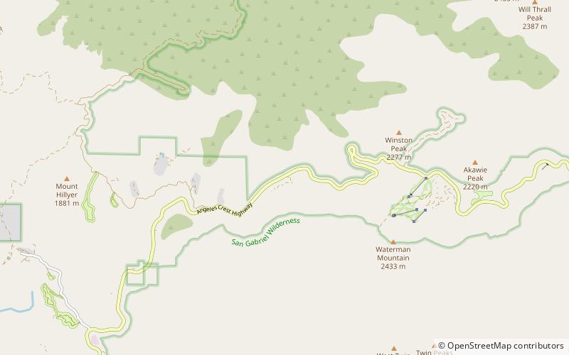
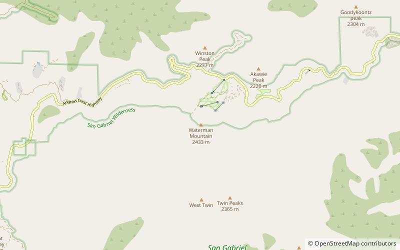
The Angeles Crest Highway is a two-lane highway over the San Gabriel Mountains, in Los Angeles County, California. Its route is to/through the San Gabriel Mountains National Monument and the Angeles National Forest. With the exception of a 1,000 feet -long section in La Cañada Flintridge, the entire route is part of California State Route 2. ()
Coordinates: 34°20'58"N, 117°57'47"W
Address
Angeles National Forest
ContactAdd
Social media
Add
Day trips
Angeles Crest Highway – popular in the area (distance from the attraction)
Nearby attractions include: Silver Moccasin Trail, Vetter Mountain, Stony Ridge Observatory, Waterman Mountain.


