Vander Veer Park Historic District, Davenport
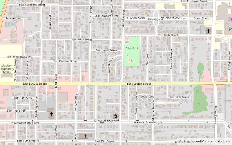
Map

Gallery

Facts and practical information
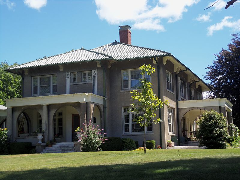
The Vander Veer Park Historic District is a historic district in Davenport, Iowa, United States, that was listed on the National Register of Historic Places. Over its 70.8-acre area, in 1985 it included 66 contributing buildings, two contributing structures, one contributing site, and one contributing object. ()
Coordinates: 41°32'35"N, 90°34'28"W
Address
Near North Side (Vander Veer Park)Davenport
ContactAdd
Social media
Add
Day trips
Vander Veer Park Historic District – popular in the area (distance from the attraction)
Nearby attractions include: Vander Veer Botanical Park, St. Paul Lutheran Church, St. John's United Methodist Church, First Presbyterian Church.
Frequently Asked Questions (FAQ)
Which popular attractions are close to Vander Veer Park Historic District?
Nearby attractions include St. Paul Lutheran Church, Davenport (4 min walk), Vander Veer Botanical Park, Davenport (4 min walk), Outing Club, Davenport (5 min walk), Columbia Avenue Historic District, Davenport (9 min walk).


