Oxbow Regional Park, Lewis and Clark State Recreation Site

Gallery (1)
Map
Map
Facts and practical information
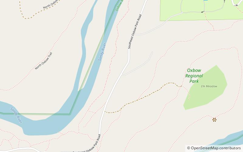
Oxbow Regional Park is a 1,000-acre natural area park located ten miles southeast of Troutdale along the Sandy River in the U.S. state of Oregon. Owned and operated by Metro regional government, it hosts a yearly festival celebrating salmon. ()
Elevation: 115 ft a.s.l.Coordinates: 45°29'33"N, 122°17'38"W
Address
Lewis and Clark State Recreation Site
ContactAdd
Social media
Add
Day trips


