Steigerwald Lake National Wildlife Refuge
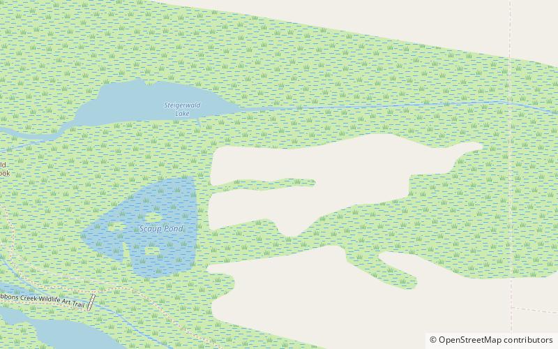
Map

Map

Facts and practical information
The Steigerwald Lake National Wildlife Refuge is a 1,049-acre riverine flood plain habitat, semi-permanent wetland on the Columbia River, 10 miles east of Vancouver, Washington, with cottonwood-dominated riparian corridors, pastures, and remnant stands of Oregon white oak. The largest wetland restoration project on the lower Columbia River involves removing about 2 miles of levees separating the refuge from the river to restore 965 acres of floodplain habitat. ()
Established: 1987 (39 years ago)Elevation: 23 ft a.s.l.Coordinates: 45°33'57"N, 122°18'22"W
Day trips
Steigerwald Lake National Wildlife Refuge – popular in the area (distance from the attraction)
Nearby attractions include: Latourell Falls, Columbia Gorge Outlets, Thom Park, Round Lake.


