Astoria, New York City
Map
Gallery
Facts and practical information
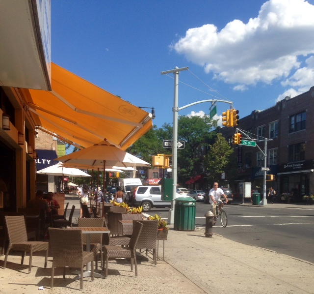
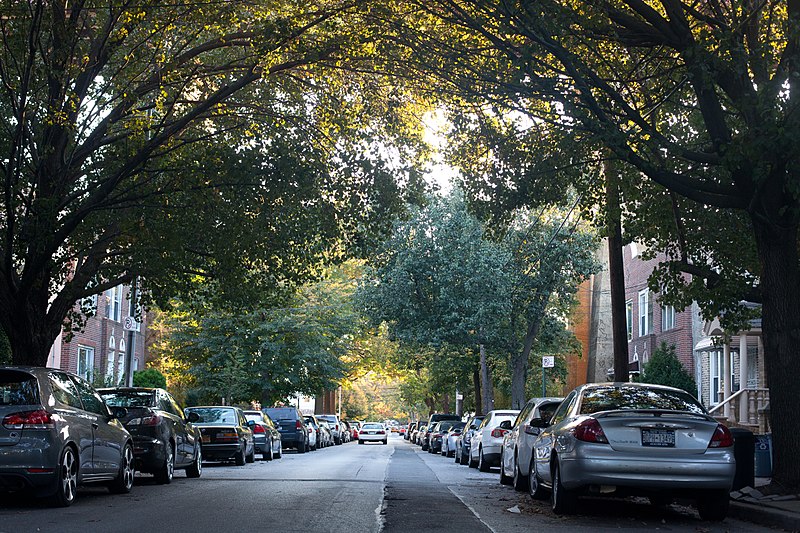
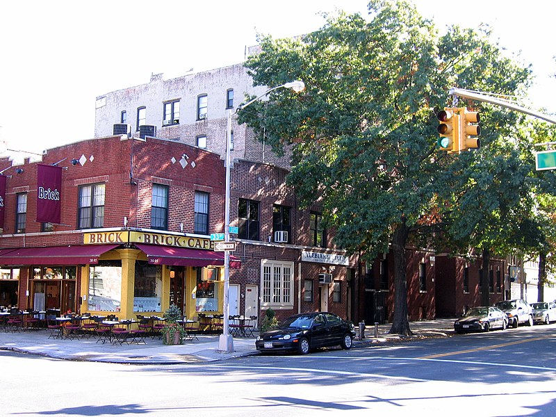
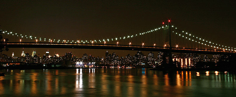
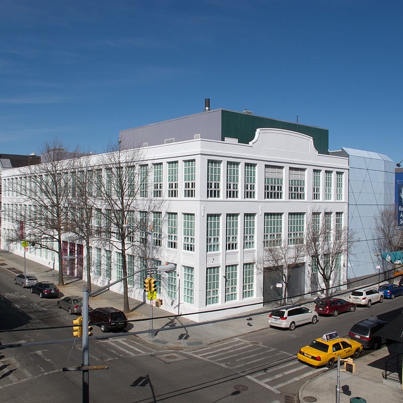
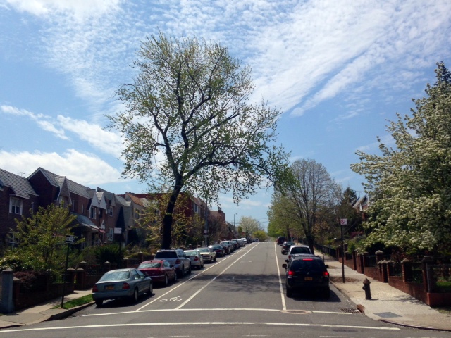
Astoria is a neighborhood in the western portion of the New York City borough of Queens. Astoria is bounded by the East River and is adjacent to three other Queens neighborhoods: Long Island City to the southwest, Sunnyside to the southeast, and Woodside to the east. As of 2019, Astoria has an estimated population of 95,446. ()
Day trips
Astoria – popular in the area (distance from the attraction)
Nearby attractions include: Socrates Sculpture Park, Gracie Mansion, Municipal Asphalt Plant, Carl Schurz Park.
Frequently Asked Questions (FAQ)
Which popular attractions are close to Astoria?
Nearby attractions include Astoria Center of Israel, New York City (7 min walk), Statue of Christopher Columbus, New York City (8 min walk), Trinity Lutheran Church, New York City (10 min walk), Steinway Street, New York City (12 min walk).
How to get to Astoria by public transport?
The nearest stations to Astoria:
Metro
Bus
Metro
- 30th Avenue • Lines: N, W (1 min walk)
- Astoria Boulevard • Lines: N, W (8 min walk)
Bus
- Astoria Boulevard & 31st Street • Lines: Q19 (7 min walk)
- Hoyt Avenue South & 31st Street • Lines: M60 Sbs (8 min walk)



 Subway
 Manhattan Buses


