Point Roberts Marina, Point Roberts

Gallery (1)
Map
Map
Facts and practical information
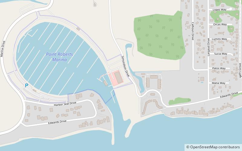
Point Roberts Marina (address: 713 Simundson Dr) is a place located in Point Roberts (Washington state) and belongs to the category of lighthouse, sailing, beach.
It is situated at an altitude of 3 feet, and its geographical coordinates are 48°58'38"N latitude and 123°3'47"W longitude.
Among other places and attractions worth visiting in the area are: Lighthouse Marine Park (lighthouse, 24 min walk).
Coordinates: 48°58'38"N, 123°3'47"W
Day trips
Point Roberts Marina – popular in the area (distance from the attraction)
Nearby attractions include: Lighthouse Marine Park.
