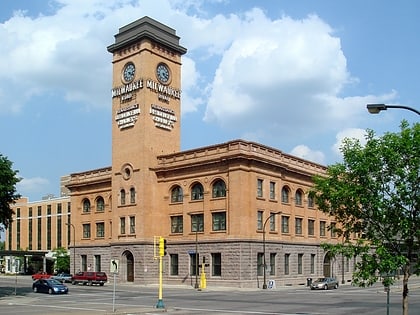
The Carlyle, Minneapolis
Map
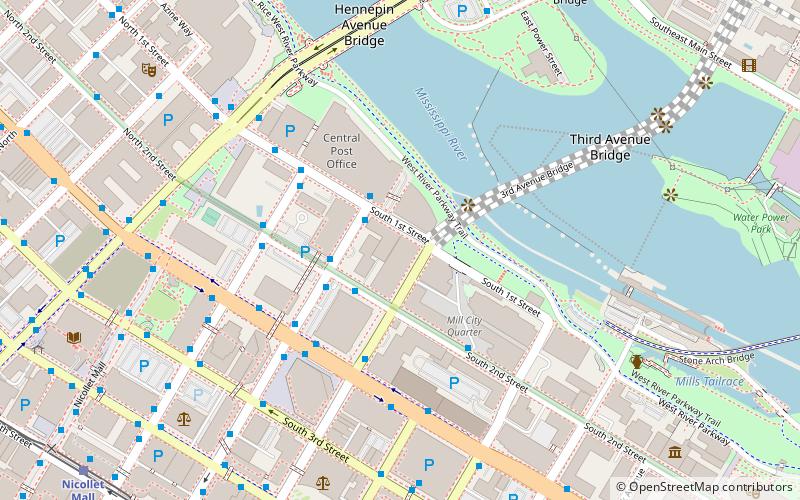
Map

Facts and practical information
The Carlyle is a 469 ft tall skyscraper in Minneapolis, Minnesota, USA, located at 100 Third Avenue South. Completed in 2007, The Carlyle has 41 floors and 249 units. It is the 12th-tallest building in Minneapolis, and the 2nd tallest residential building in Minnesota. ()
Completed: 2007 (19 years ago)Floors: 41Coordinates: 44°58'55"N, 93°15'47"W
Address
Central Minneapolis (Downtown West)Minneapolis
ContactAdd
Social media
Add
Day trips
The Carlyle – popular in the area (distance from the attraction)
Nearby attractions include: Mill City Museum, Saint Anthony Falls, Stone Arch Bridge, Guthrie Theater.
Frequently Asked Questions (FAQ)
Which popular attractions are close to The Carlyle?
Nearby attractions include Churchill Apartments, Minneapolis (3 min walk), 100 Washington Square, Minneapolis (4 min walk), Saint Anthony Falls, Minneapolis (6 min walk), Third Avenue Bridge, Minneapolis (6 min walk).
How to get to The Carlyle by public transport?
The nearest stations to The Carlyle:
Bus
Light rail
Train
Bus
- 2nd Avenue & 1st Street • Lines: 250C, 250M, 270 (2 min walk)
- Marquette Avenue & 2nd Street • Lines: 250C, 250M, 270 (4 min walk)
Light rail
- Government Plaza • Lines: 901, 902 (10 min walk)
- Nicollet Mall • Lines: 901, 902 (11 min walk)
Train
- Target Field (18 min walk)


