Union Multipurpose Activity Center, Tulsa
Map
Facts and practical information
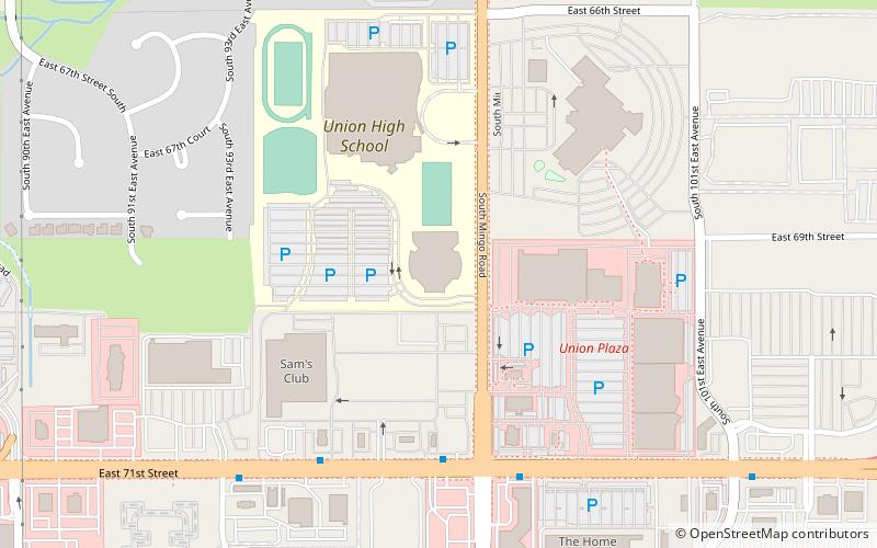
The Union Multipurpose Activity Center is a 5,662-seat multipurpose arena located in Tulsa, Oklahoma. Built in 2003 at a cost of $22 million, it is the home of the Union High School Redskins basketball team. It hosted The Summit League's men's basketball tournament from 2005 to 2008. ()
Coordinates: 36°3'50"N, 95°52'10"W
Address
SouthsideTulsa
ContactAdd
Social media
Add
Getting there by public transportation
Public transportation stops near this location
- Bus
 Bus
Bus
- Calculate routeWoodland Hills Sub Hub 22 min walk
Day trips


Frequently Asked Questions (FAQ)
How to get to Union Multipurpose Activity Center by public transport?
The nearest stations to Union Multipurpose Activity Center:
Bus
Bus
- Woodland Hills Sub Hub • Lines: 310, 440, 450, 460, 470, 490 (22 min walk)