Varsity Field, Albany
Map
Facts and practical information
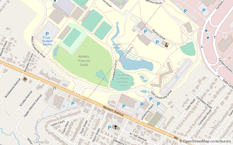
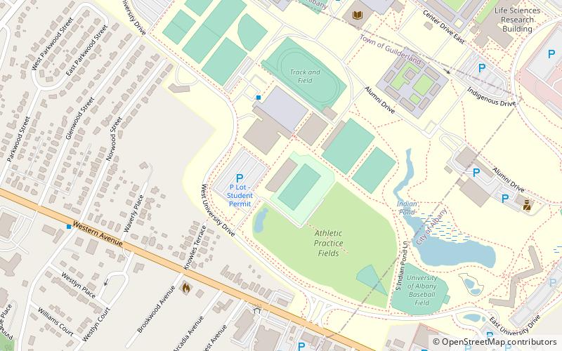
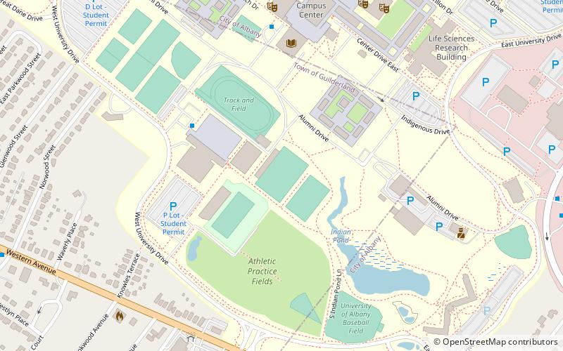
Varsity Field is a baseball field located on the campus of the University at Albany in Albany, New York, United States. The field is home to the Albany Great Danes baseball team of the NCAA Division I America East Conference. The facility shares its name with the university's soccer facility. The field hosted the school's inaugural Division I baseball game on March 24, 2000, in which the Great Danes defeated the Canisius Golden Griffins 9–1. ()
Coordinates: 42°40'44"N, 73°49'26"W
Address
Campus AreaAlbany
ContactAdd
Social media
Add
Getting there by public transportation
Public transportation stops near this location
- Bus
 Bus
Bus
- Calculate routeHillcrest Avenue 18 min walk
Day trips
Varsity Field – popular in the area (distance from the attraction)
Nearby attractions include: Crossgates Commons, Stuyvesant Plaza, University Hall, American Italian Heritage Museum.


Frequently Asked Questions (FAQ)
Which popular attractions are close to Varsity Field?
Nearby attractions include University Hall, Albany (14 min walk), Washington Avenue, Albany (21 min walk).
How to get to Varsity Field by public transport?
The nearest stations to Varsity Field:
Bus
Bus
- Hillcrest Avenue • Lines: 10, 763 (18 min walk)