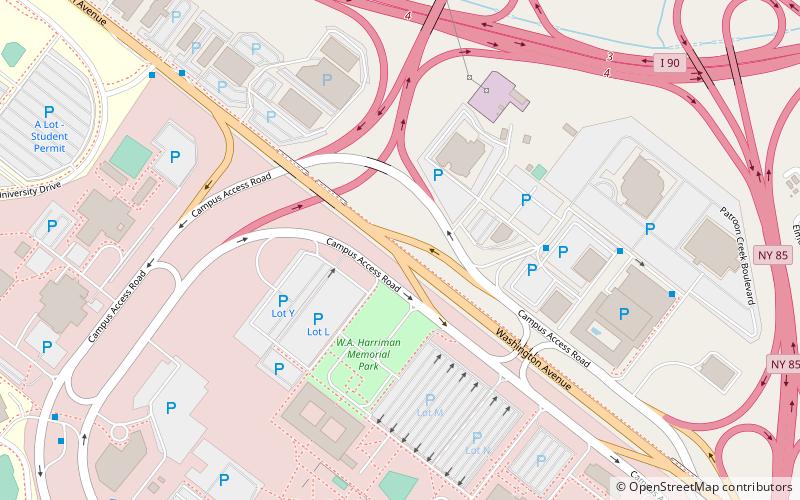
Washington Avenue, Albany
Map
Facts and practical information
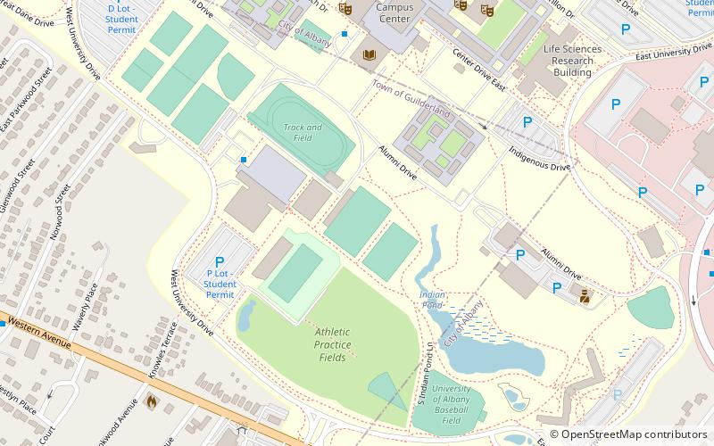
Washington Avenue is a major east–west route in the city of Albany, New York. ()
Coordinates: 42°41'2"N, 73°48'36"W
Address
Upper Washington AvenueAlbany
ContactAdd
Social media
Add
Getting there by public transportation
Public transportation stops near this location
- Bus
 Bus
Bus
- Calculate routeHillcrest Avenue 20 min walk
- Calculate routeWest Mall 27 min walk
Day trips


Frequently Asked Questions (FAQ)
Which popular attractions are close to Washington Avenue?
Nearby attractions include Lustron Houses of Jermain Street Historic District, Albany (14 min walk), University Hall, Albany (18 min walk), American Italian Heritage Museum, Albany (23 min walk).
How to get to Washington Avenue by public transport?
The nearest stations to Washington Avenue:
Bus
Bus
- Hillcrest Avenue • Lines: 10, 763 (20 min walk)
- West Mall • Lines: 905 (27 min walk)