Harrisburg University of Science and Technology, Harrisburg
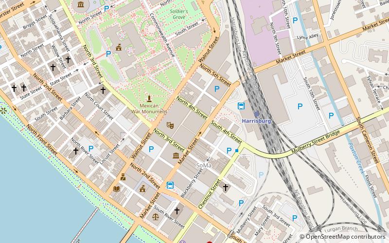
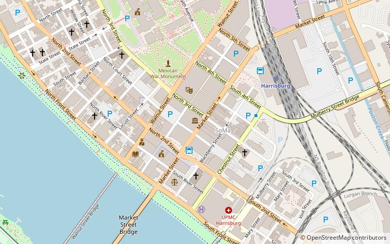
Map
Facts and practical information
Harrisburg University of Science & Technology, commonly referred to as Harrisburg University, is a private STEM-focused university in Harrisburg, Pennsylvania with an additional location in Philadelphia. Founded in 2001 in Harrisburg, Pennsylvania as Harrisburg Polytechnic Institute, it offers STEM-focused degree and certificate programs. ()
Established: 2001 (25 years ago)Coordinates: 40°15'43"N, 76°52'49"W
Getting there by public transportation
Public transportation stops near this location
- Bus
- Train
 Bus
Bus
- Calculate routeHarrisburg 3 min walk
- Calculate routeFlixBus Harrisburg 4 min walk
- Calculate routeMarket Street Transfer Station 5 min walk
- Calculate routeHarrisburg 4 min walk
Day trips
Harrisburg University of Science and Technology – popular in the area (distance from the attraction)
Nearby attractions include: Pennsylvania State Capitol, Strawberry Square, Cathedral of Saint Patrick, Whitaker Center for Science and the Arts.


Frequently Asked Questions (FAQ)
Which popular attractions are close to Harrisburg University of Science and Technology?
Nearby attractions include Gamut Theatre Group, Harrisburg (2 min walk), Susquehanna Art Museum, Harrisburg (3 min walk), Tanner's Alley, Harrisburg (3 min walk), Whitaker Center for Science and the Arts, Harrisburg (3 min walk).
How to get to Harrisburg University of Science and Technology by public transport?
The nearest stations to Harrisburg University of Science and Technology:
Bus
Train
Bus
- Harrisburg (3 min walk)
- FlixBus Harrisburg • Lines: 2680 (4 min walk)
Train
- Harrisburg (4 min walk)