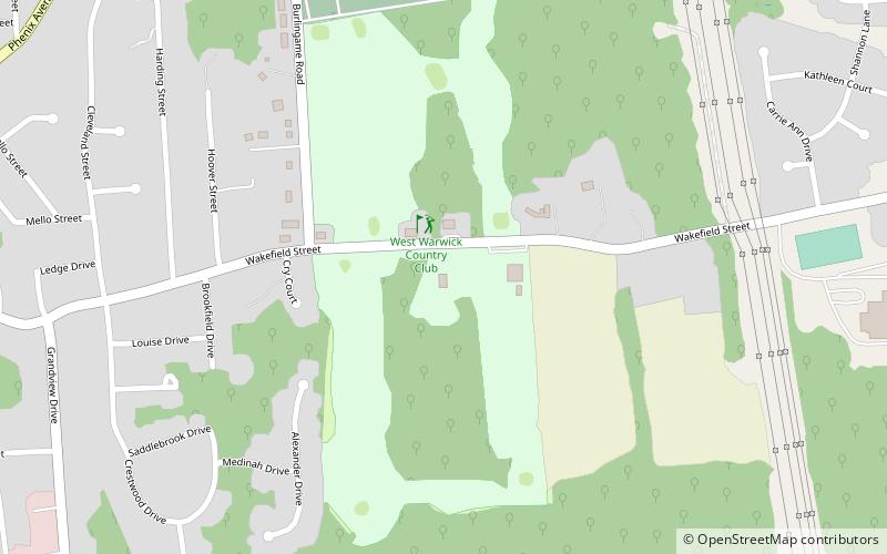
West Warwick Country Club, West Warwick

Gallery (1)
Map
Map
Facts and practical information
West Warwick Country Club (address: 335 Wakefield St) is a place located in West Warwick (Rhode Island state) and belongs to the category of golf.
It is situated at an altitude of 230 feet, and its geographical coordinates are 41°43'28"N latitude and 71°30'50"W longitude.
Among other places and attractions worth visiting in the area are: Phenix Baptist Church (church, 25 min walk), West Warwick Public Library (library, 26 min walk), Interlaken Mill Bridge, Coventry (bridge, 41 min walk).
Coordinates: 41°43'28"N, 71°30'50"W
Day trips
West Warwick Country Club – popular in the area (distance from the attraction)
Nearby attractions include: Warwick Mall, General Nathanael Greene Homestead, Roger Williams Park Museum of Natural History and Planetarium, Midland Commons.


